There’s a Department of Conservation campground at the base of the Kea Point trail, and by the time I was finally finished with all of my hiking excursions, it was nearly 5:00 so I decided to just spend the night here. Now I’ve talked myself into hiking up the Kea Point trail one more time today, after dark, and shoot some moonlight images of the mountains. That will get me up to 5 hours of camping. To do that hike, I’m going to have to bundle up with every layer of warm clothing I have because it will be frigid up there after dark.
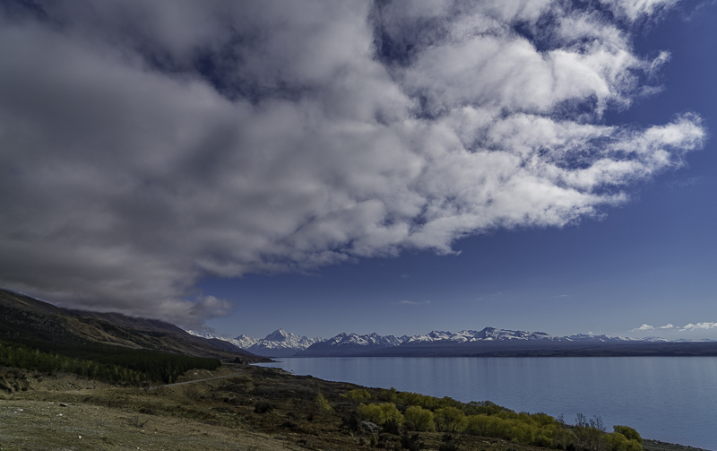
The day started cloudy, but everything burned off before I got to Mount Cook.
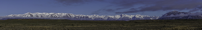
You drive by this range of mountains on the way to Mount Cook.
This is a place called Peter’s Lookout. Mount Cook is in the middle.
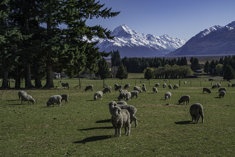
Here’s a sheep farm just before you get to the park. Across the street is a Helipad where people do helicopter excursions up onto the snowfields. The sheep completely ignore the helicopters coming and going, but you literally have to sneak up to the fence to get a photo of them. I wonder why? I don’t even have a bad reputation as far as sheep go!
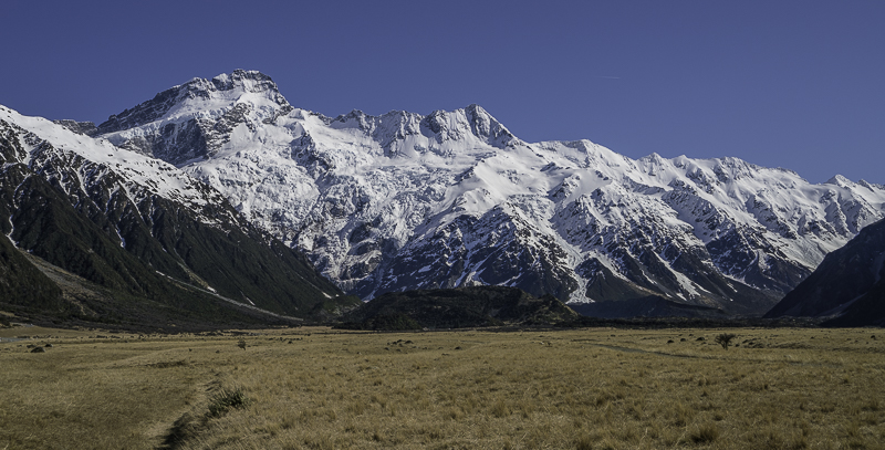
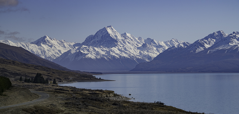
This is Mount Sefton. Ironically, it is the most highly visible mountain at Mount Cook Village. Mount Cook itself is around the corner to the right and only partially visible from the Village. I had some New Zealand tourists ask me if this was Mount Cook.
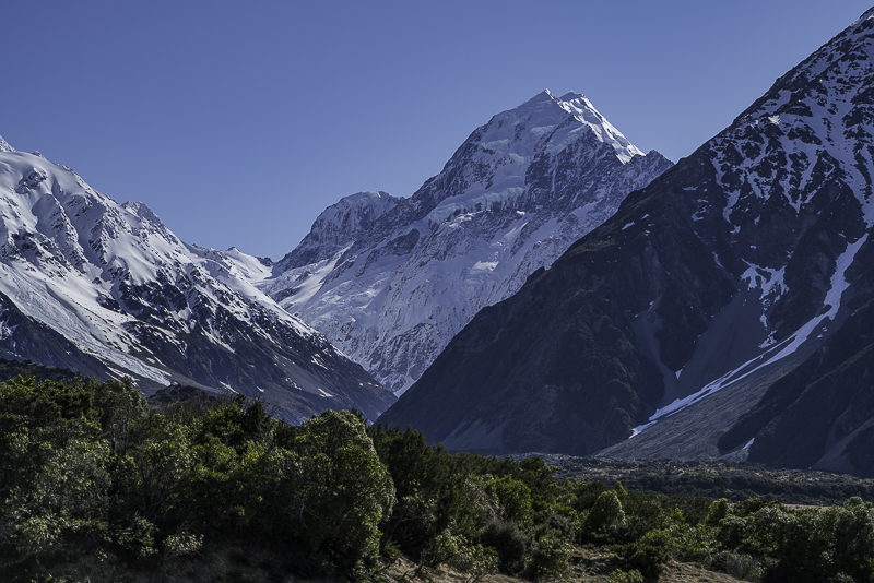
This is Mount Cook, but you have to walk a bit from the Village to get the view.
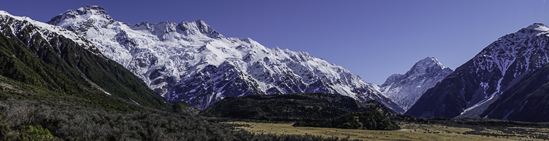
This is a panorama showing Mount Sefton (left) and Mount Cook (through the gap on the right). From this angle, Mount Sefton looks bigger, but it is only the close proximity causing the illusion.
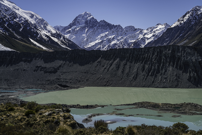
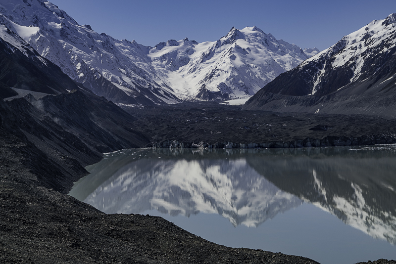
This is Mount Cook from Kea Point. Mueller lake is in the foreground. It is fed by Mueller Glacier coming off of Mount Sefton to the Left.
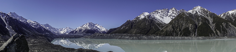
This is a view of Tasman Lake which is fed by Tasman Glacier. The Glacier comes off of Mount Cook (on the left). Global Climate Change is causing it to recede over 1/2 mile per year. Just a few years ago, this 5 mile long lake didn’t even exist, it was all Glacier.
This is a closer view of the Glacier terminating in the lake. Chunks of ice break off and float as Icebergs in the lake until they melt.
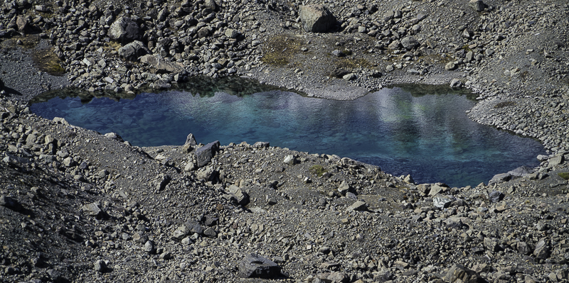
The Glacial water is very silty from all the ground up rock sediment, but out in the middle of one of the moraines was this beautiful clear blue pond.
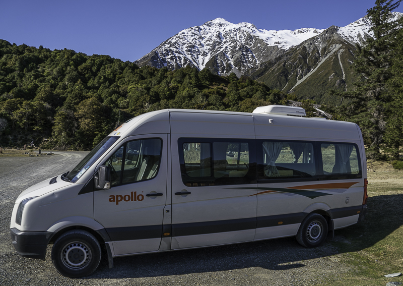
This is my campsite for the night.
No comments:
Post a Comment