Today was my last opportunity to film Blue Spring from the air. Last time I was here, it was overcast, and guess what, today was too. In retrospect, I probably should have come straight here after Hobbiton, but I rolled the dice on the weather forecast and came up cloudy again. So I made the best of what I had to work with. It was also quite windy today and that gave me fits at times. I didn’t have any trouble hovering, the GPS will maintain it’s position even in gusty winds, but it was causing quite a bit of drift as I was moving. It almost pushed me into some trees and bushes a couple times.

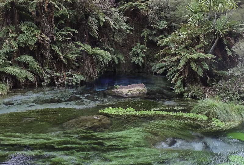
This is the actual Blue Spring. I didn’t shoot it last time because from the ground, like this, it is difficult to see what it really is.
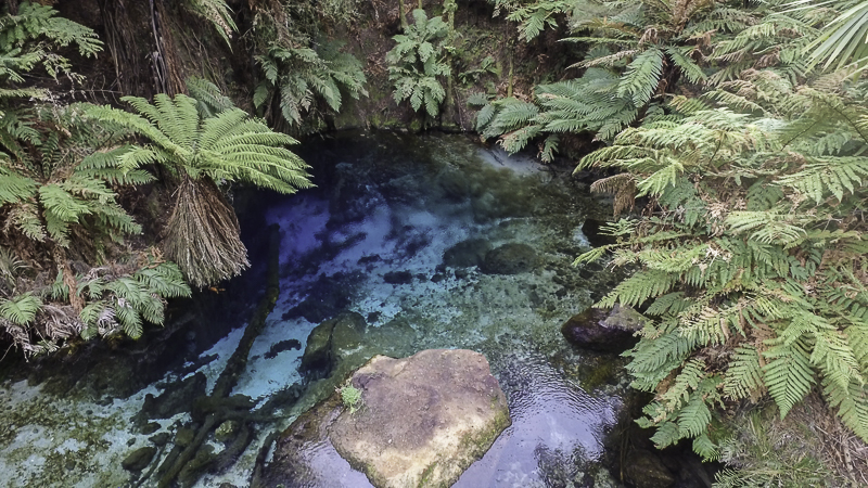
But from the air, you can see it clearly and it is obvious where it gets its name.
Even from a slightly higher than ground level view, you can clearly see the spring. This obviously isn’t the only spring feeding the stream. There are others on private land above.
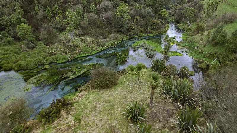
This is an area above the public access section of the trail. I was able to fly up there and get a view that I couldn’t see before.
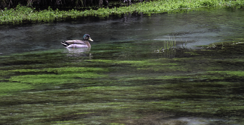
It was a good day to be a duck floating on the stream.
No comments:
Post a Comment