From Hokitika, I continued south toward Glacier country. The road passes through farmland with amazing views of the Southern Alps. After lots of stops along the way for photos of the scenic countryside, I arrived at my destination, the Franz Josef Glacier. The Glacier comes off the northwestern side of Mt Cook. I did a 40 minute hike to the closest point that you can get to the Glacier. I decided that tomorrow morning, I will do the hike again with the DJI Inspire and if I can connect to enough GPS satellites, I will fly it up to the face of the Glacier for a closer view.
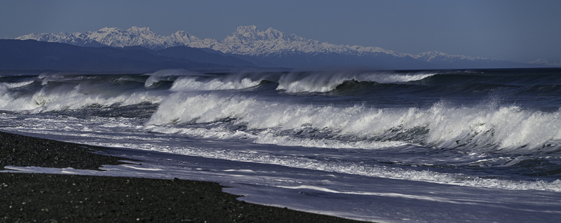
My campground in Greymouth was right on the beach. Before I left this morning, I did some photos looking down toward Mount Cook, my destination. There aren’t a lot of places that you can get a photo of crashing surf with snowy mountains in the background.
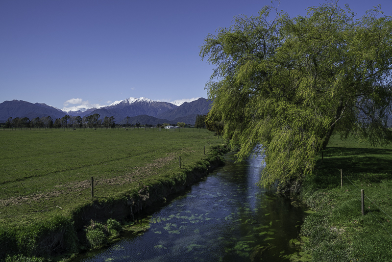
This is some of the farmland on the way to Hokitika Gorge. Nice view in their backyard.
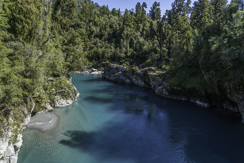
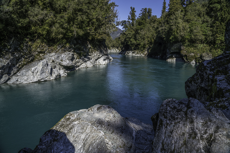
This is Hokitika Gorge from the suspension bridge that the trail crosses.
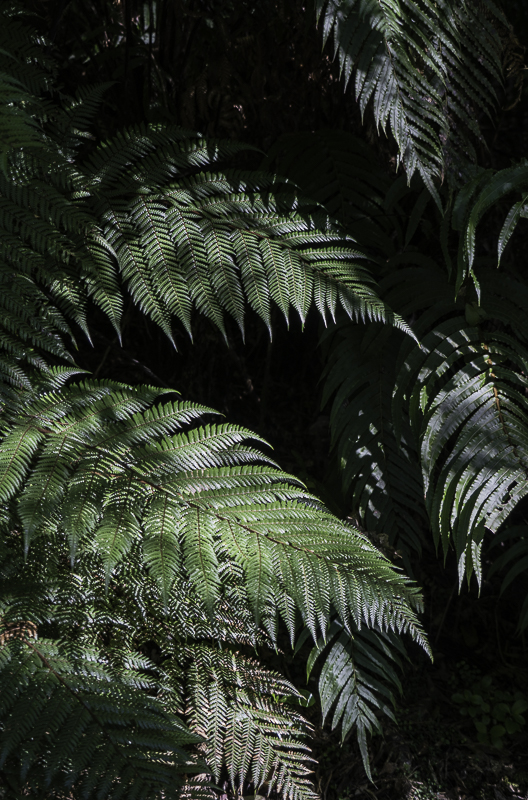
Along the trail, I can get my daily dose of Fern photos.
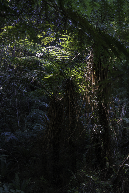
There was nice sunlight filtering through the forest.
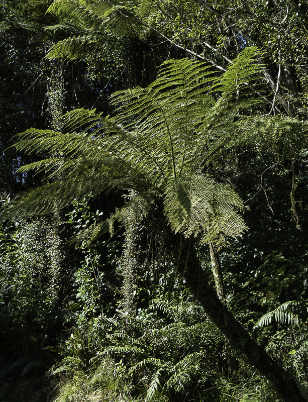
This Tree Fern grew out over the trail.
This is the location that I did my flight with the drone.
Here’s a series of images from along side the road on the way to Franz Josef:
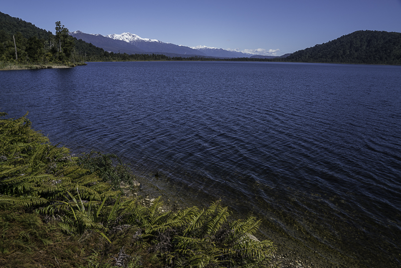
A roadside lake.
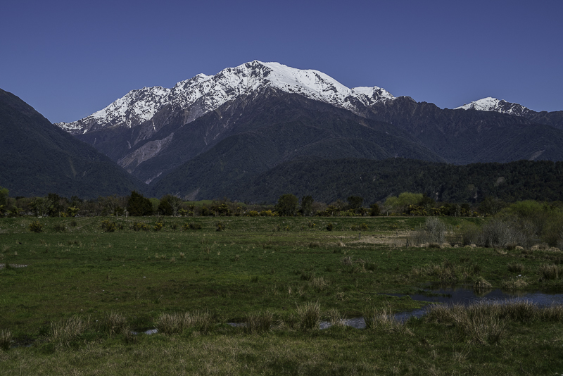
Scenic Farmland.

One of the rivers coming out of the mountains.
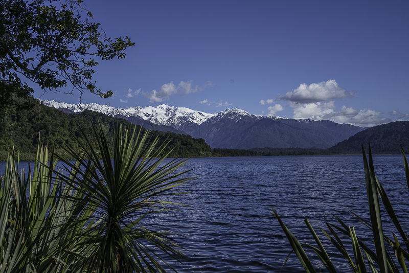
A roadside lake.
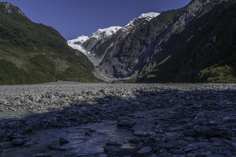
This is the trail to Franz Josef Glacier.
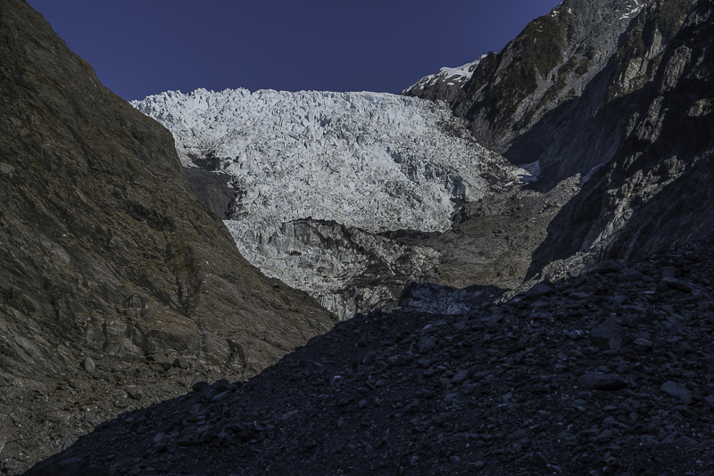
This is as close as you can get to the face of the glacier.
No comments:
Post a Comment