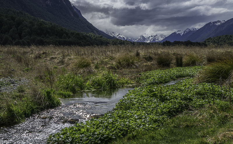
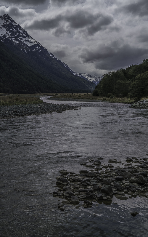
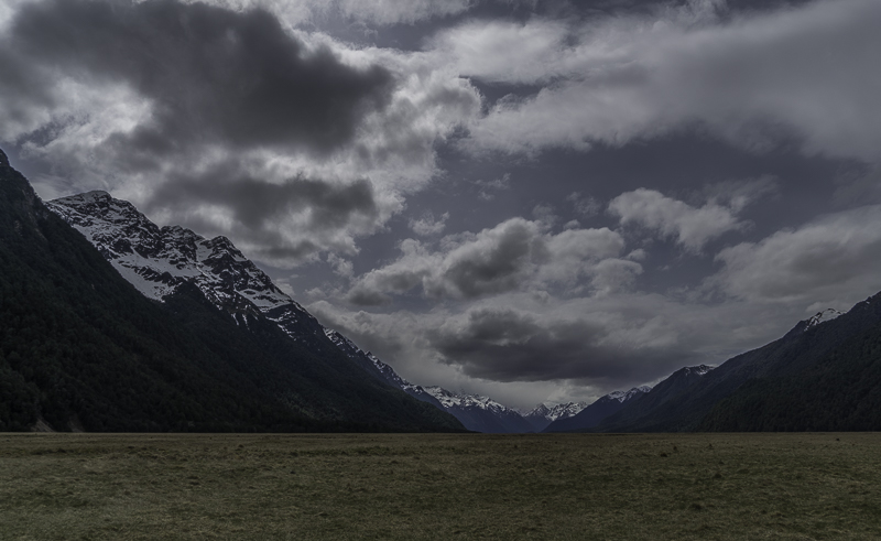
I’ve been expecting weather problems for a few days now, but it has been very slow in deteriorating. I think that by tomorrow, my sunny skies will cease. I traveled from the Queenstown area southward to Te Anau, a small town on the shores of a Lake of the same name. Te Anau Lake is New Zealand’s second largest. Since it is in ancient Glacial scar, it is long, deep and narrow. The side opposite the town’s location is rugged wilderness all the way to the coast. It forms Fiordlands National Park. The only access into the area is by one road to Milford Sound and a number of famous hiking trails. I went about halfway down the Milford road today until the weather completely socked in, then I backtracked to Te Anau. I’d like to catch Milford Sound on a nice day, but the forecast for the next week is rain. I may wind up diverting to another location and coming back here later in my trip. I will have to see if the forecast improves.
Last night’s sunset made a nice show on the clouds.
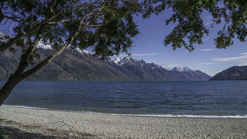
Lake Wakitipu on the way South out of Queenstown.
Looking back in the direction of Queenstown.
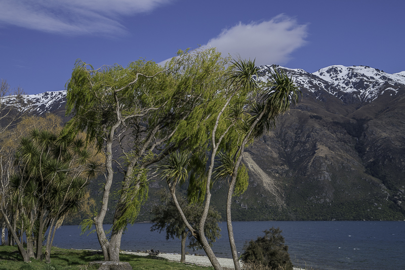
A really odd combination of scenery and vegetation. Normally Pandanas Trees are found in tropical locations, not in close proximity to snowy mountains.
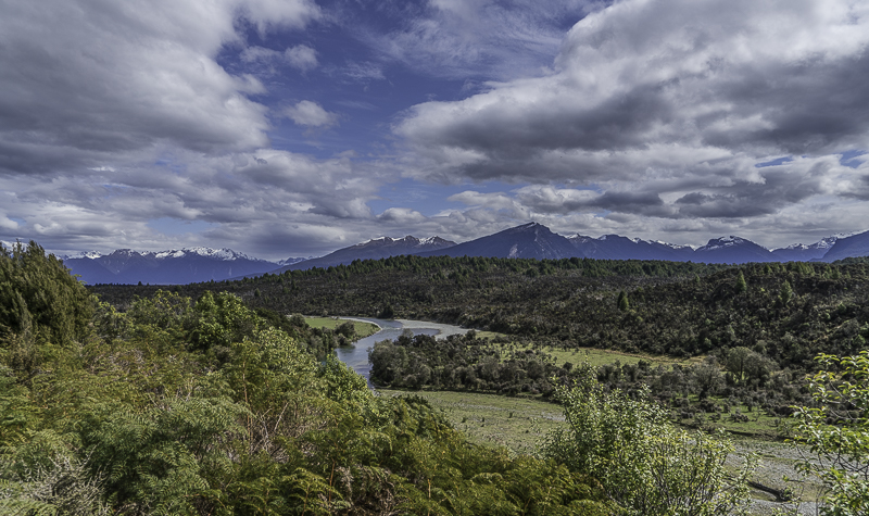
The Eglinton River above it’s entry point into Te Anau.
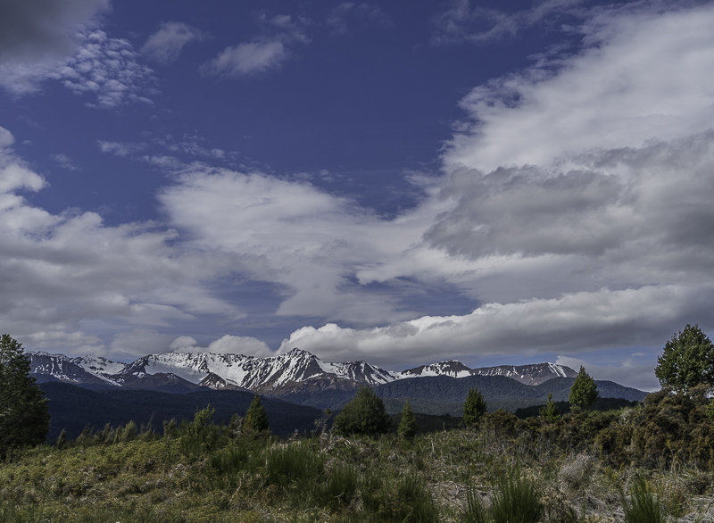
The clouds are on the move in force. The closer I get to the West Coast, the more cloudy it gets.
This is my favorite shot of the day. In the distance, the stormy clouds are boiling up through the pass from Milford Sound.
The mountains are starting to disappear into the clouds.
The rain is just a few minutes away, might as well start backtracking.
Tuesday, September 29, 2015
Monday, September 28, 2015
Glenorchy to Paradise
It was a chilly night where I was camping, so I hit the snooze alarm a couple extra times to stay cozy for a little longer. I heard someone drive up and figured they were probably going to hike the Glacier Burn trail that started where I was camping. I could hear them getting packs ready. I wasn’t curious enough to get out of my warm cocoon for a look. Then I heard a motorized racket from the meadow opposite the campground and I just had to take a peek and see what was up. A helicopter had landed and it was picking up the “hikers”. Apparently they were going Heli-Hiking. The probably got dropped off in the high country and are hiking their way back down.
Well, since I was finally up, and the weather was very nice again, I took off to explore the area between Glenorchy and Paradise. I stopped frequently along the way for the spectacular mountain views. When I got to Paradise, I decided to press on and took the road all the way to the end at Chinaman’s Bluff. There were dire warnings on signs along the way about the condition of the road and how many places you had to ford deep streams that have no bridges. I was concerned for awhile, but it turns out that the road was fine, and I didn’t have to ford any streams that came up even close to the windows, so no problem. I think they were just trying to scare people off. That’s fine by me. I even went well beyond where the 4x4 photo tour vehicles had stopped. At the end of the road is a nice campground and a trail going way up the Dart River. I walked up the trail for about an hour and found some more nice scenery.
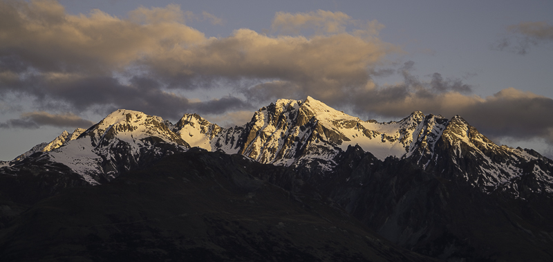
Last night, there was a beautiful sunset with alpenglow on the mountain tops. I just opened a window on the side of the motorhome and shot from there (didn’t want to put my shoes back on).
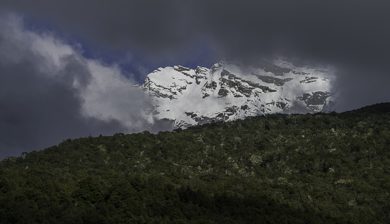
There were some clouds early this morning and as they burned off I had this “window” of a mountain peak.
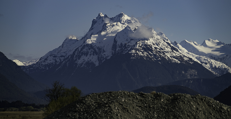
This was just before I left my campsite.
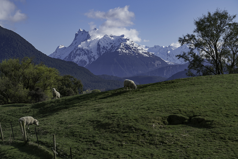
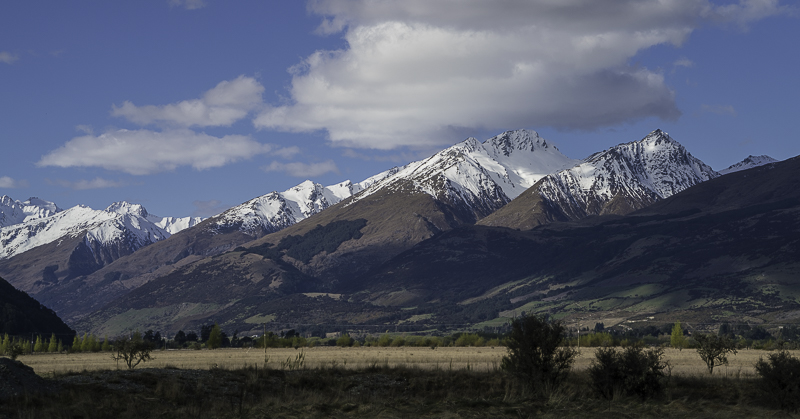
On the road between Kinloch and Glenorchy.
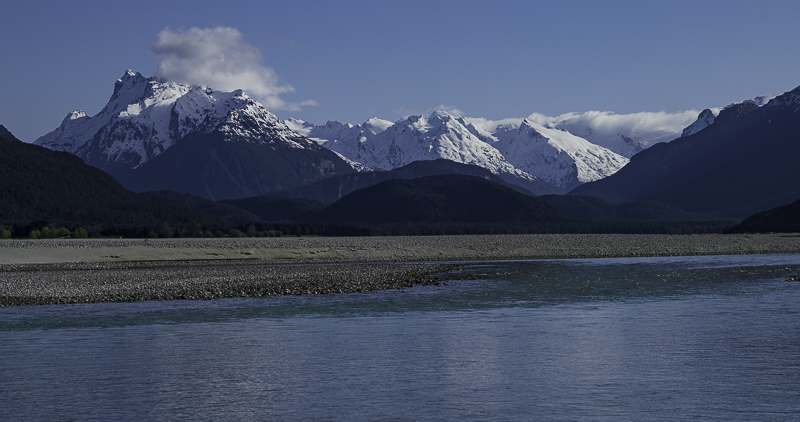
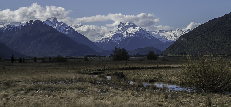
The Dart River coming out of the mountains that were my destination for the day.
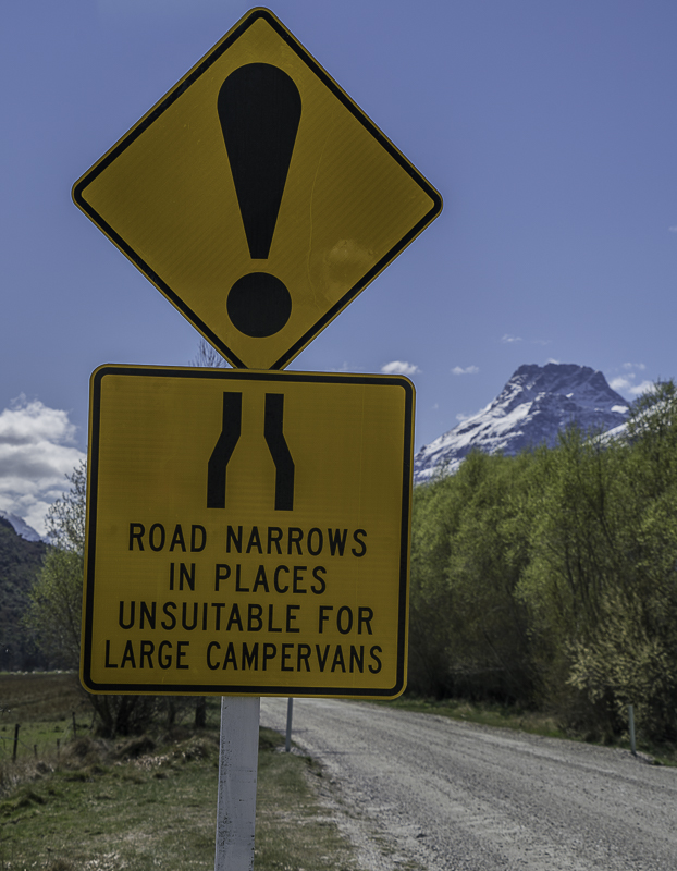
This is one of the warning signs at the start of the Glenorchy-Paradise Road. They surely don’t mean me!
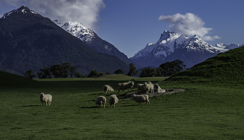
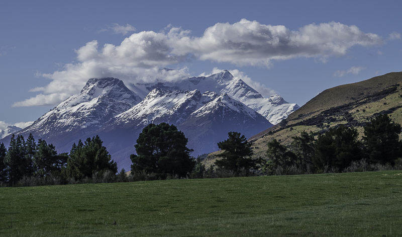
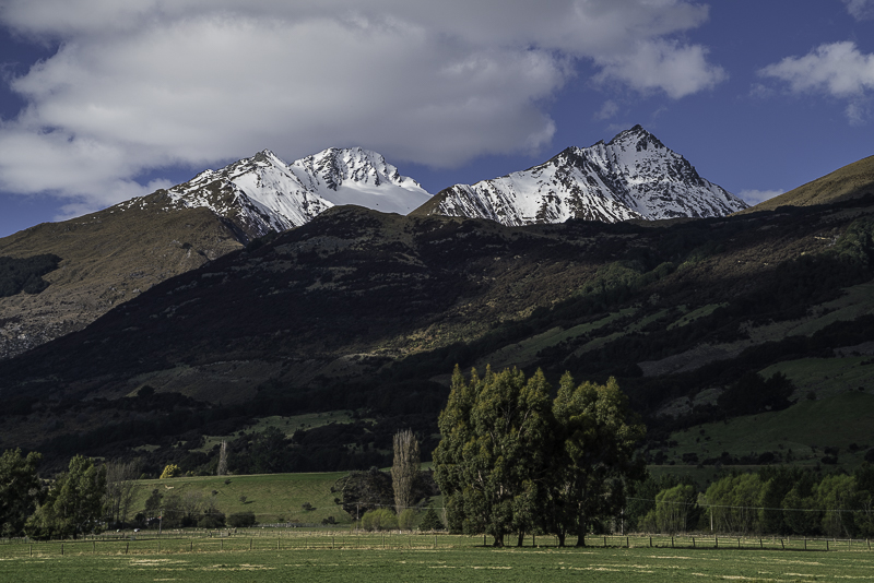
I think there must be some sort of a law in New Zealand that you must have a mountain view at your farm.
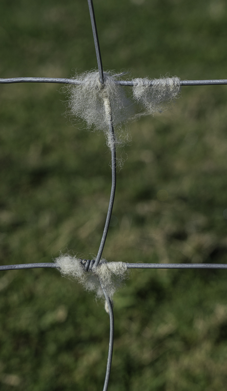
The sheep stick their heads through the fences to eat grass on the other side (it’s greener, don’t ya know), and they loose a little bit of wool in the process. You could make a sweater just by picking wool from a fence.
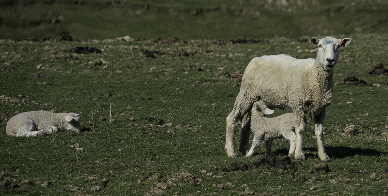
This little lamb has had enough grass and wants some milk now.
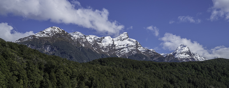
Along the way.
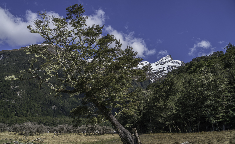
This is at the end of the road. From here I go on foot.
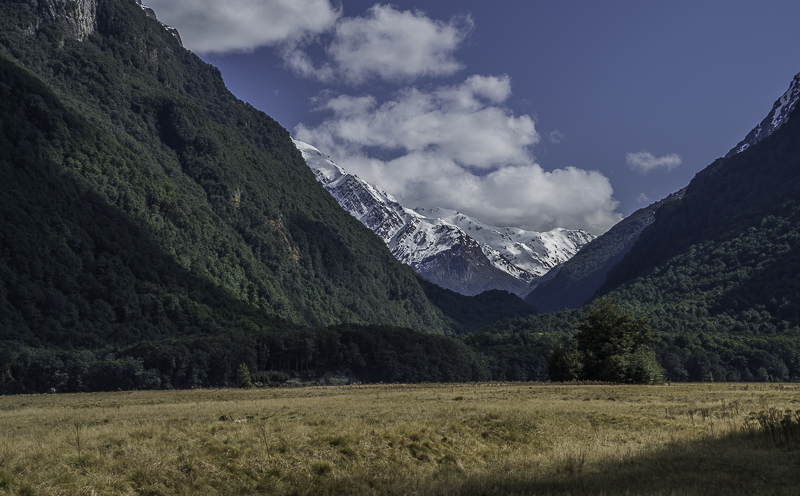
This meadow is about a mile across.
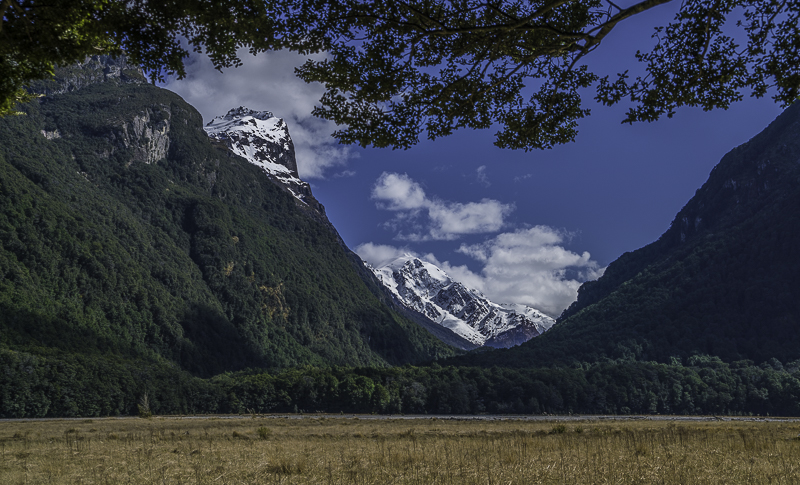
The trail re-enters the forest after crossing most of the meadow.
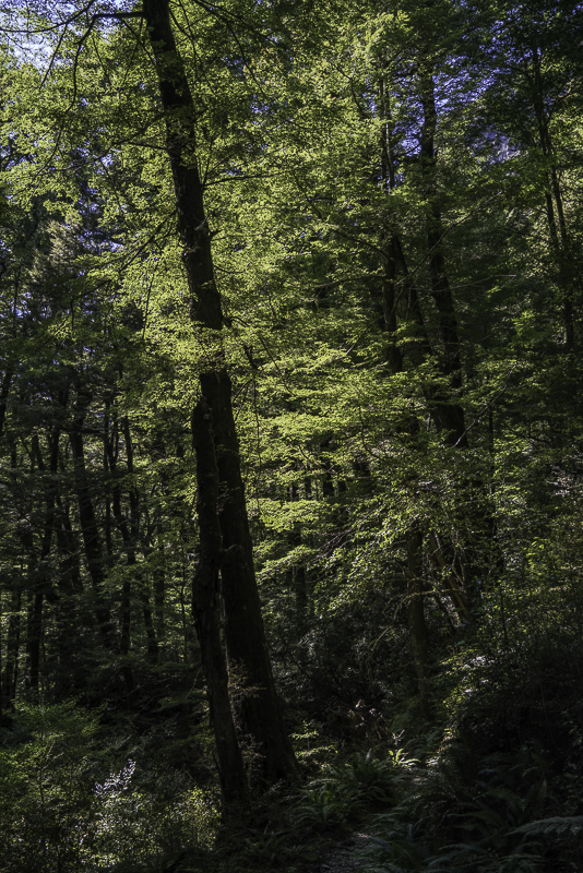
This is on the trail through the forest.
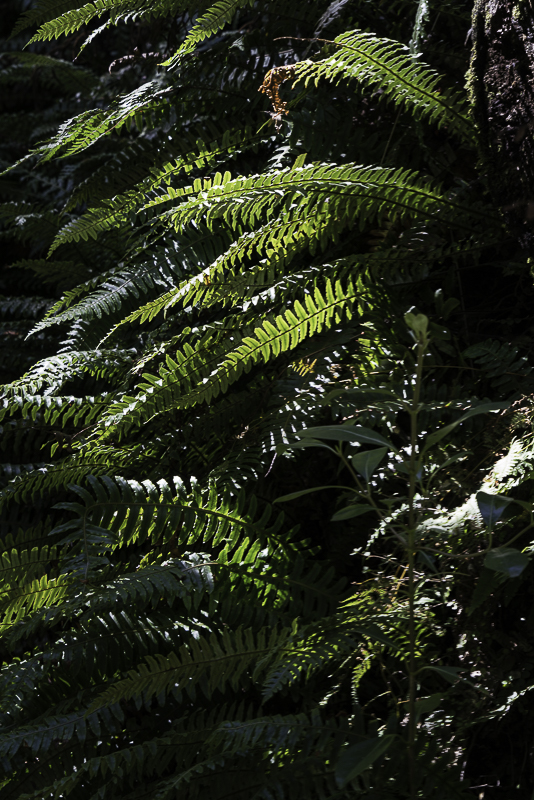
Hey, I haven’t photographed a fern for a couple days. I’ll have to do something about that!
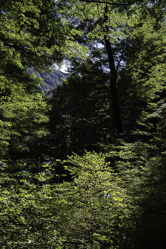
It’s springtime in the Southern Alps, so lots of new growth.
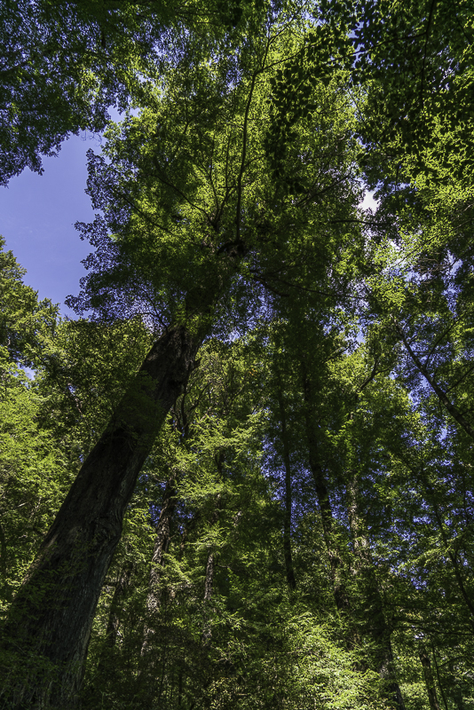
Lots of really big trees in this part of the forest. This is all part of Mount Aspiring National Park.
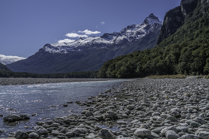
This view is what I was trying to get on my hike. The trail doesn’t come down to the river, so I had to blaze my own way down.
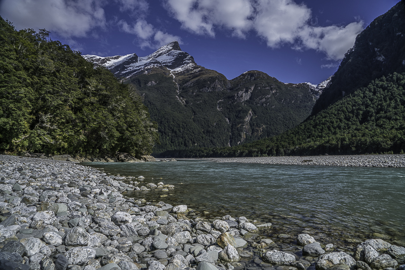
This view is from the same place, just looking downstream instead of upstream.
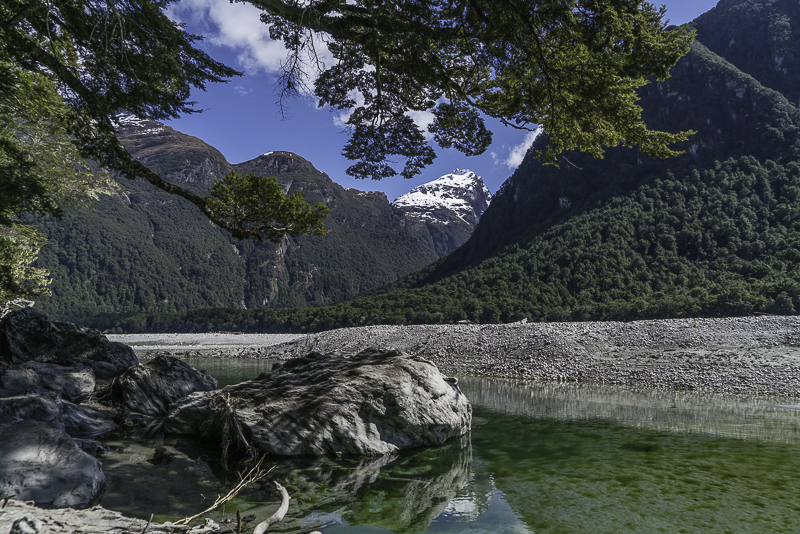
This is another spot I had to bushwhack my way down to.
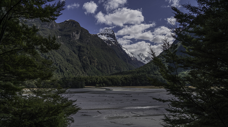
This is the floodplain of the Dart River on my way back down to the big meadow.
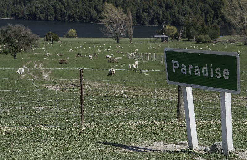
This is Paradise. They even clearly marked it with a sign. If you are a Jihadist and reading this, here is where you will go and those white fluffy things in the field are the virgins they promised you. Hope you don’t get a rug burn.
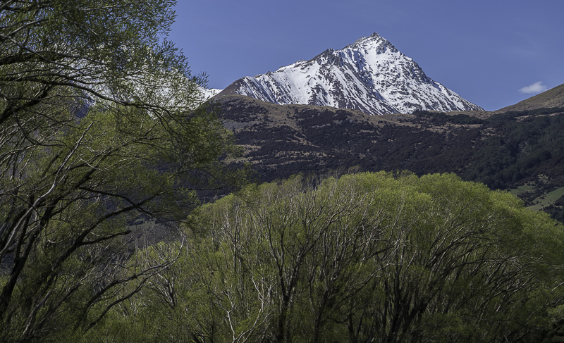
More new leaves budding out near Glenorchy.
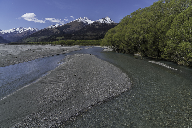
Crossing the Dart River near Glenorchy.
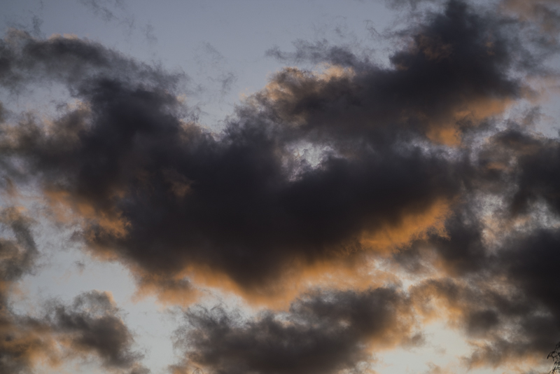
Sunday, September 27, 2015
Mount Cook to Glenorchy
Yesterday, I didn’t travel very far in the motorhome but did quite a bit of hiking. Today, I didn’t hike anywhere, but traveled a long distance in the motorhome. The idea was to get to Queenstown, the South Island’s major vacation spot. It is surrounded by big mountains and on a large blue lake that is many miles long. I got to Queenstown a bit earlier than I had planned, and instead of the forecast cloudy day, the weather was nice with blue skies and some fluffy white clouds. So instead of wasting half a day, I continued on down the lake toward Glenorchy at the opposite end of the lake. It’s about an hour’s drive but lots of places to stop for photos. When I got to Glenorchy, I still had some good daylight left, so I continued around the end of the lake toward Kinloch. I’m camping for the night in a beautiful spot with big snowy mountains. Tomorrow I will continue to explore the area if the weather holds up. Then I will make my way back up towards Queenstown.
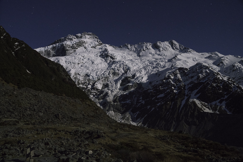
As I mentioned yesterday, I planned a night hike up to Kea Point to shoot the mountains by moonlight. There was a full moon, so it was quite bright. I managed to do the entire hike without turning my light on a single time. I was even able to do most my camera settings without turning a light on. This is a photo of Mt. Sefton by moonlight from Kea Point.
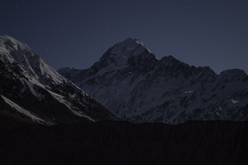
This is Mount Cook from the same place, but the moon is on the other side so the mountain in in lunar shadow and doesn’t look as nice. The full moon makes the sky very bright and overpowers all but the brightest stars.
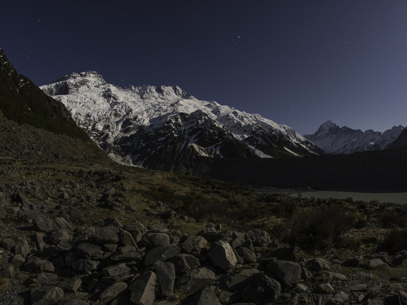
This is a wide angle view that has both Mount Sefton on the left and Mount Cook on the right.
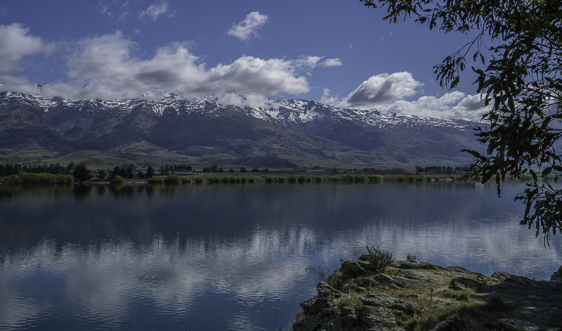
Here’s a roadside panorama on the way to Queenstown.
Another spot along the road on the way to Queenstown.
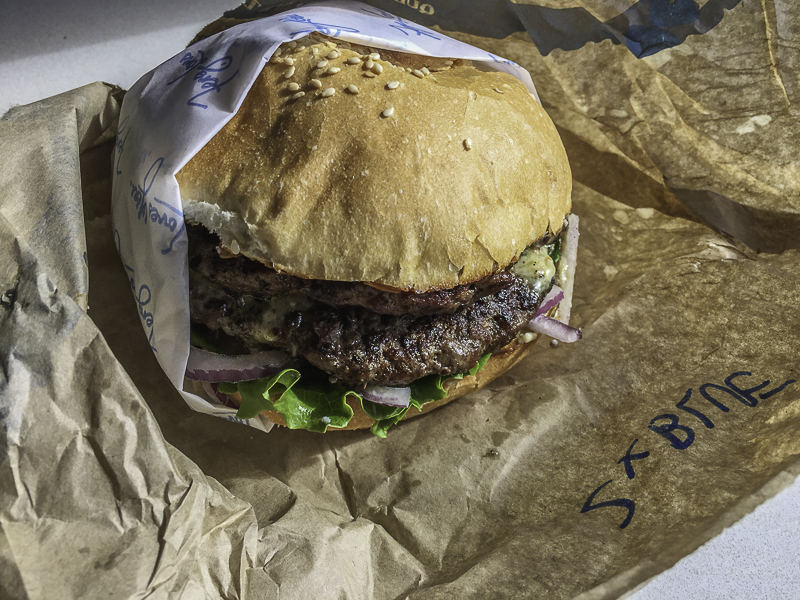
This is the world famous Fergburger in Queenstown. I only stopped long enough to grab some groceries, fuel up, and get a Fergburger for lunch.
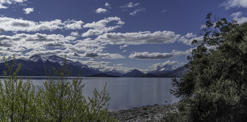
A panorama of the lake and mountains on the road to Glenorchy.
Another panorama along the way to Glenorchy.
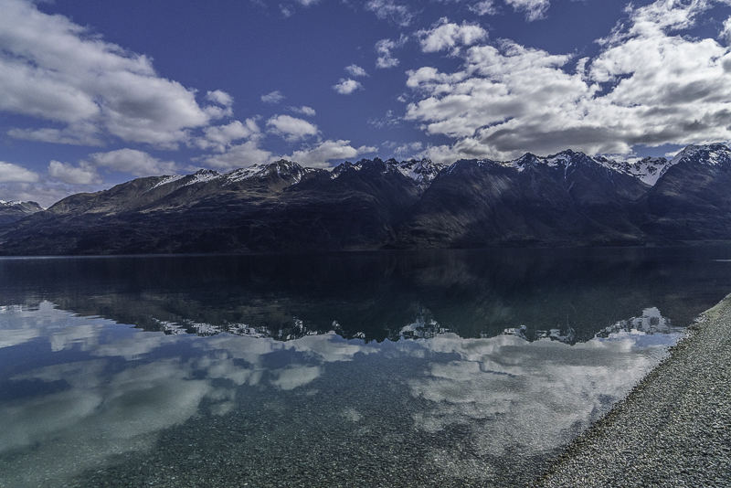
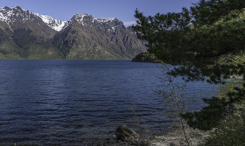
The lake is crystal clear and very pure.
This is looking toward the North end of the lake where Glenorchy is located.
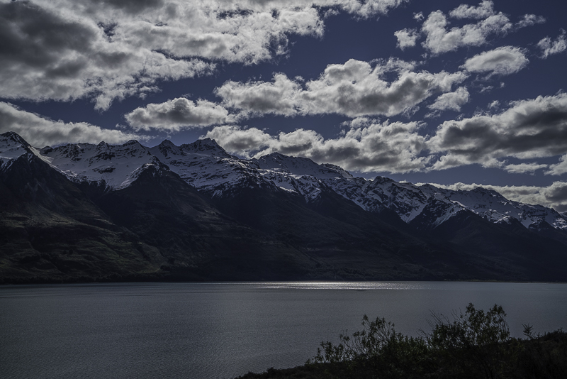
Looking across the lake toward some dramatic clouds.
Getting closer to Glenorchy.
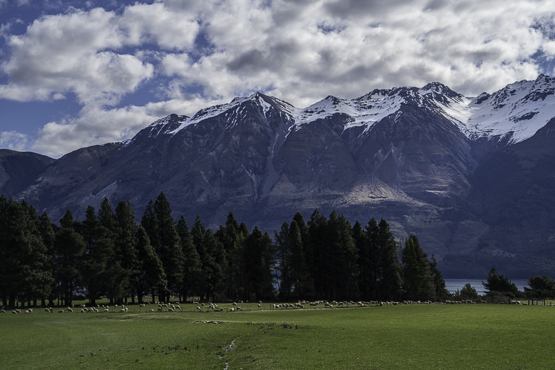
A sheep farm along the lake near Glenorchy.
This farm is just beyond Glenorchy on the way to Kinloch.
This view is at the same sheep farm, just 90 degrees to the right. I couldn’t talk any of the sheep in to moving over there to graze in my foreground.
This is the view from my campsite looking North.
This is the view from my campsite looking West.
As I mentioned yesterday, I planned a night hike up to Kea Point to shoot the mountains by moonlight. There was a full moon, so it was quite bright. I managed to do the entire hike without turning my light on a single time. I was even able to do most my camera settings without turning a light on. This is a photo of Mt. Sefton by moonlight from Kea Point.
This is Mount Cook from the same place, but the moon is on the other side so the mountain in in lunar shadow and doesn’t look as nice. The full moon makes the sky very bright and overpowers all but the brightest stars.
This is a wide angle view that has both Mount Sefton on the left and Mount Cook on the right.
Here’s a roadside panorama on the way to Queenstown.
Another spot along the road on the way to Queenstown.
This is the world famous Fergburger in Queenstown. I only stopped long enough to grab some groceries, fuel up, and get a Fergburger for lunch.
A panorama of the lake and mountains on the road to Glenorchy.
Another panorama along the way to Glenorchy.
The lake is crystal clear and very pure.
This is looking toward the North end of the lake where Glenorchy is located.
Looking across the lake toward some dramatic clouds.
Getting closer to Glenorchy.
A sheep farm along the lake near Glenorchy.
This farm is just beyond Glenorchy on the way to Kinloch.
This view is at the same sheep farm, just 90 degrees to the right. I couldn’t talk any of the sheep in to moving over there to graze in my foreground.
This is the view from my campsite looking North.
This is the view from my campsite looking West.
Subscribe to:
Posts (Atom)