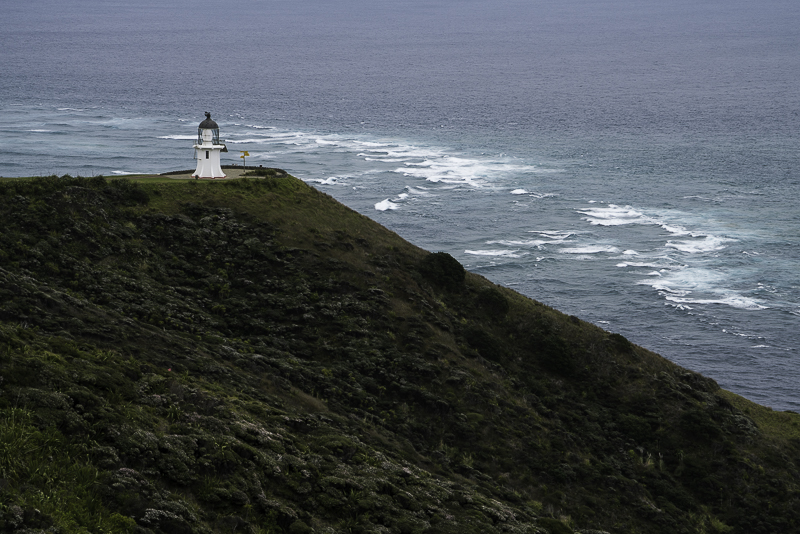
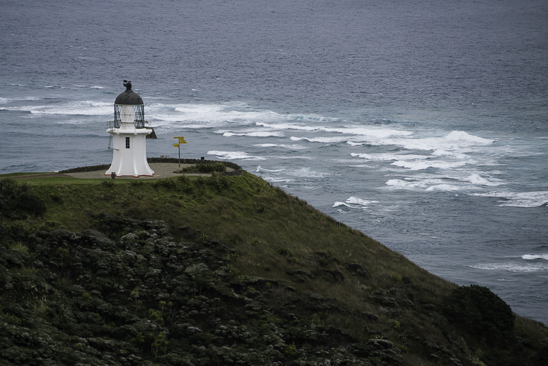
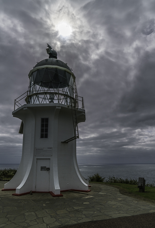
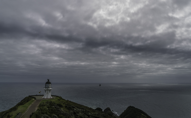
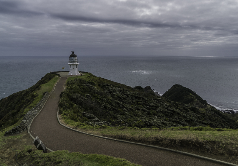
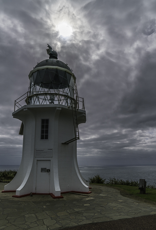
About 15 miles West of Spirit Bay is Cape Reigna, the “official” Northernmost point of New Zealand (though it really isn’t, you can get a little further North on a hiking trail). This area is steeped in Maori beliefs. It is a rugged headland with a picturesque lighthouse to warn shipping of the dangerous rocks and reefs. I really wouldn’t want to be anywhere near here in a boat because this is where the Pacific Ocean meets the Tasman Sea (and eats it for lunch). You see sets of waves crossing each other at 90°. Pretty scary. I had a cloudy day with a pretty dreary sky, but I waited on the Cape for quite some time because I could see some interesting clouds coming my way. There were two layers of clouds, one above the other. When a hole in one layer matched up with a hole in the other layer, a little spotlight of sunshine could occasionally sneak through. So most of these photos are of the same general thing, but with lighting variations.
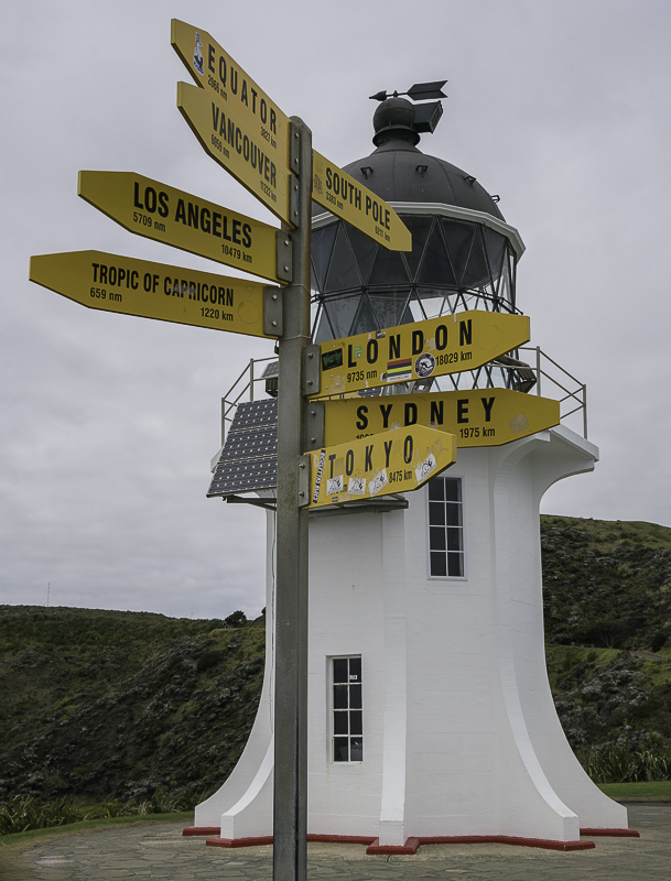
Portland isn’t on this sign, but if it were, it would be about 6800 miles.

Here’s a Panorama of the Cape.
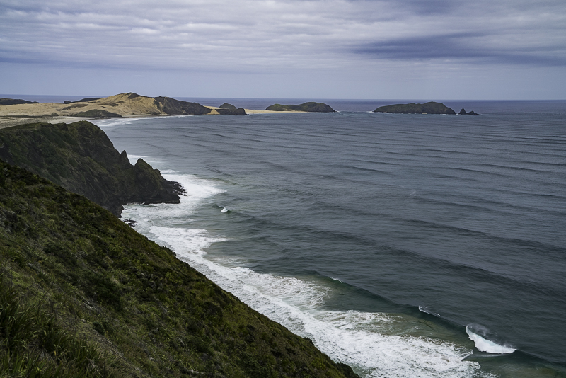
This is looking back to the Southwest. This is the end of “90 Mile Beach”, which, of course, is nowhere near 90 miles long. More like 55. If you were walking it, I suppose it would seem like 90.
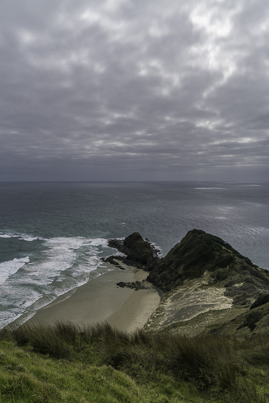
This is looking toward the East from the lighthouse.
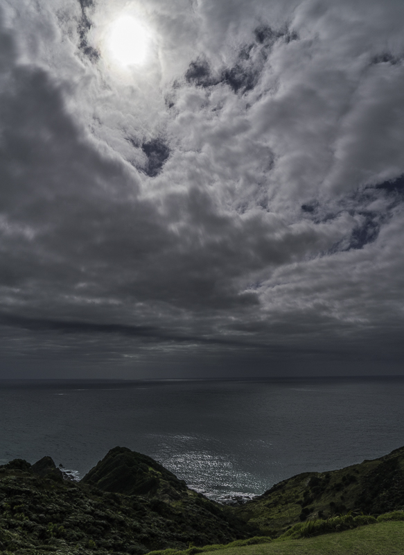
Looking toward the Northeast as the sky got a little bit more interesting.
This is just a batch of images of the lighthouse in differing lighting conditions:


No comments:
Post a Comment