It’s a rainy day today, but that doesn’t matter too much in Waitomo because the main attractions here are underground. The Waitomo Caves (there are over 100 of them) are famous for Glow Worms. The Glow Worms aren’t actually worms at all. They are the larvae of a type of tiny fly. Which technically, makes them glowing maggots. Now if you were in tourism marketing, which do you think would be easier to sell, “Glow Worm Cave Tours." or “A Tour in a Cave full of Glowing Maggots”. I’ll admit that Glowing Maggots might attract a certain segment of the population, but I’m not sure if I want to go in a cave with them.
The Glow Worms suspend tiny threads from the ceiling of the caves that are covered with droplets of adhesive. When some tasty little insect gets stuck in the sticky stuff, the Glow Worm reels them in for dinner. My guide pointed out that they don’t actually eat the insects, they just suck all the fluid out of their bodies. That distinction is probably of little consolation to the insect that has just become dinner for a glowing maggot.
The caves with the most Glow Worms are the ones that have streams flowing through them. The stream is the source of the aquatic insect food for the Glow Worms. The insects come up out of the water, see all the glowing lights above that look like stars, and fly up to take a better look. In the good spots, there are tens of thousands of little points of light on the ceiling of the cave making it look brighter then the Milky Way above. You float along in a boat inside the cave with all the lights turned off. Glow Worms are plentiful, but their light source isn’t very bright. As your eyes become accustomed to the dark cave, you can see more and more detail just from the glowing illumination of thousands of specks of light. It is truly an awesome sight. And seriously difficult to photograph!
I also went in a dry cave with lots of interesting limestone formations. Even in the dry caves there are a few Glow Worms, but nothing like the caves that have streams running through them. In one of the dry caves, we saw the bones of a Moa Bird. The Moa has been extinct for over 600 years. The largest species of Moa was the size of an Ostrich. They were the largest animal on the Islands until the Maori’s arrived and hunted them into extinction. By the time the first white explorers arrived, the Moa’s were long gone.
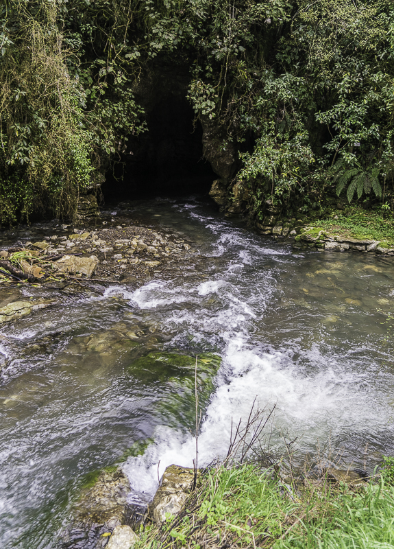
This stream is flowing into the cave that I’m going into to see the Glow Worms. There are elevated walkways in the cave, so you are above the level of the stream (until you get into the boat).
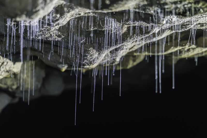
These are the tiny threads that the Glow Worms hand to capture their prey. You can see the tiny beads of stick adhesive that traps the insects.
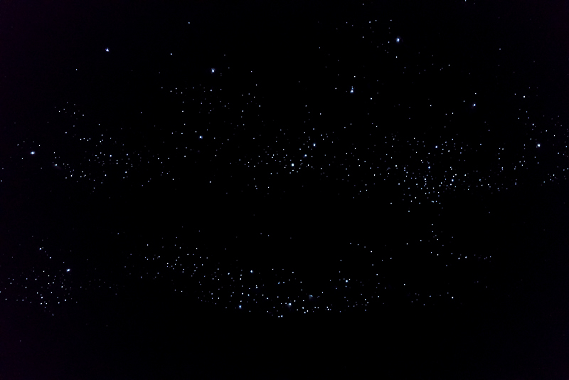
This is not a starry night. These tiny specks of light are each a Glow Worm. It takes about 20 minutes for your eyes to become accustomed to the dark so that you can start to see details in the cave that is illuminated by the thousands of tiny points of light. There are areas with more than this, but only accessible from the boat, and you can’t Photograph from the boat.
These are a bugger to photograph. This exposure was wide open, 2 seconds (hand held) at ISO 12,500. The 5 axis stabilizer of the Sony A7R II allowed me to hand hold this shot. The extremely low noise of the sensor let me go up to ISO 12,500.
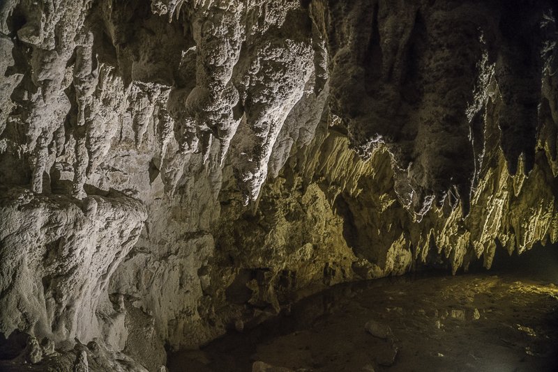
In the “dry caves” you can find really interesting limestone formations.
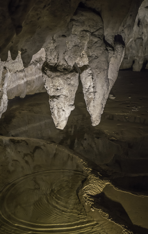
The Dry Caves aren’t actually dry, they just don’t normally have a stream running through the entire width of the cave.
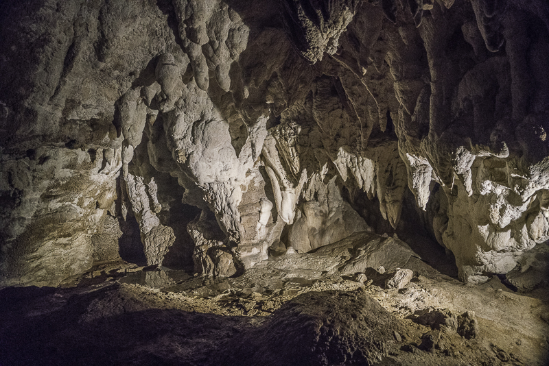
More Stalactites.
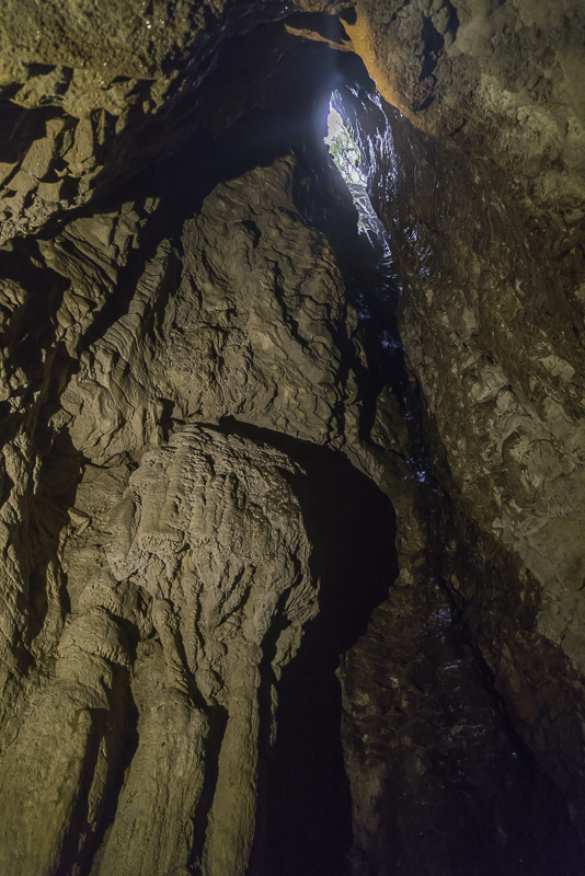
The Dry cave had several places that open vertically to the forest above.
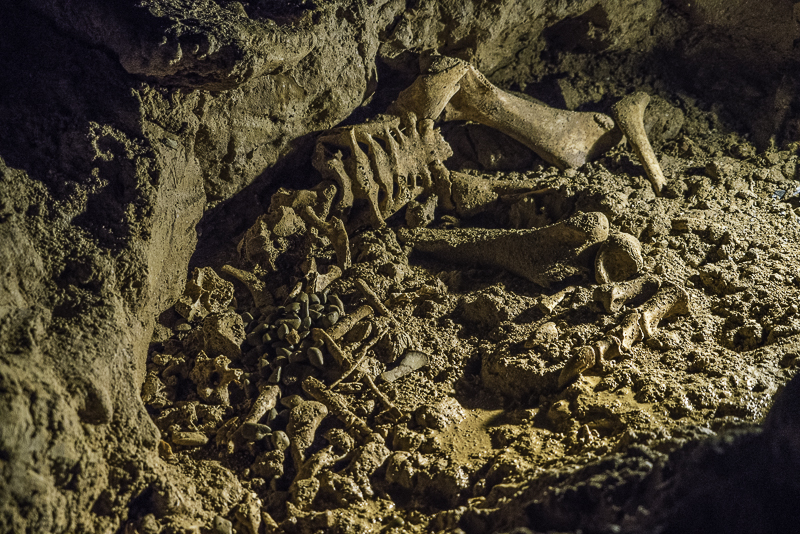
This skeleton is a Moa Bird that has been extinct for over 600 years.
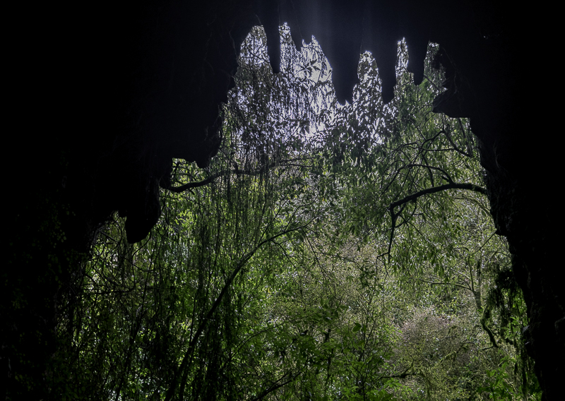
This is the exit from the dry cave.
Sunday, August 30, 2015
Saturday, August 29, 2015
Muriwai Gannet Colony
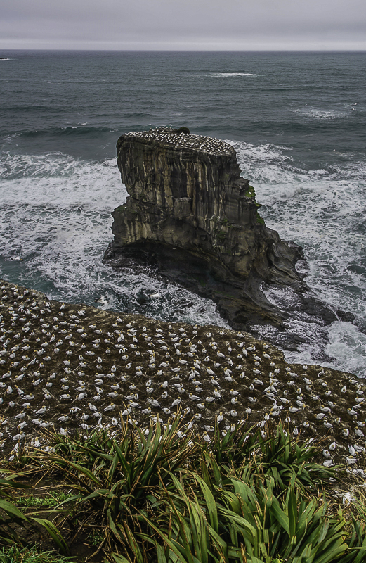
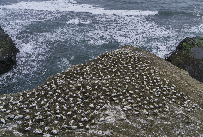
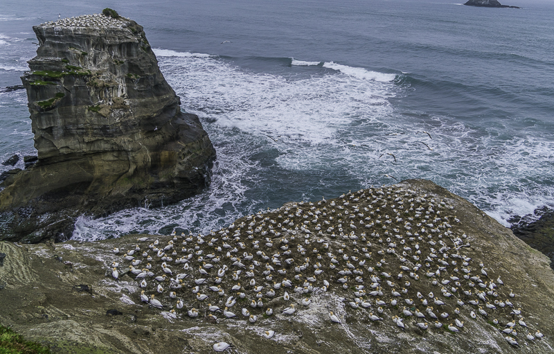
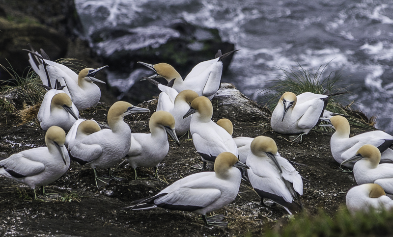
I drove south from the Kauri Forests to Muriwai Beach. The headlands at the South end of the beach contain a nesting colony of Gannets. This is one of the few colonies that is on the mainland. Most are located on small isolated offshore islands. It was after sunset when I arrived so I just had a short time to work. The next morning, it was alternating between foggy and rainy. I managed to get a bit more done between rain showers, then it was time to head further South.
The weather forecast is for 4 or 5 days of rainy weather, so I decided this would be a great time to head down to Waitomo Caves. If it’s going to rain, I might as well be underground. I had to pass through Auckland, but since it’s Sunday, there wasn’t much traffic. The main route South through Auckland is a reasonably nice freeway. It even stays freeway for quite awhile South. Finally, it gradually looses lanes and fades into a two lane road like in the North. It was nice to be on 4 and 6 lane freeway for awhile. I went through some heavy rain showers, and was very surprised to pop out into a nice sunny area that lasted all the way down to Waitomo. I’m sure it will be gone tomorrow.
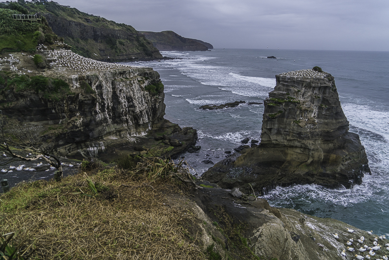
This is the Muriwai Gannet Colony. There are viewing platforms built on the cliffside where you can watch the birds without bothering them. You can see one of the platforms in the upper left corner.
They also use a conveniently flat topped rock just offshore.
This is the nesting area just below the upper platform.
Birds are constantly coming and going.
There are constant territorial squabbles. The birds are just starting to stake out their space and a few are starting to make nests.
Kauri Forests
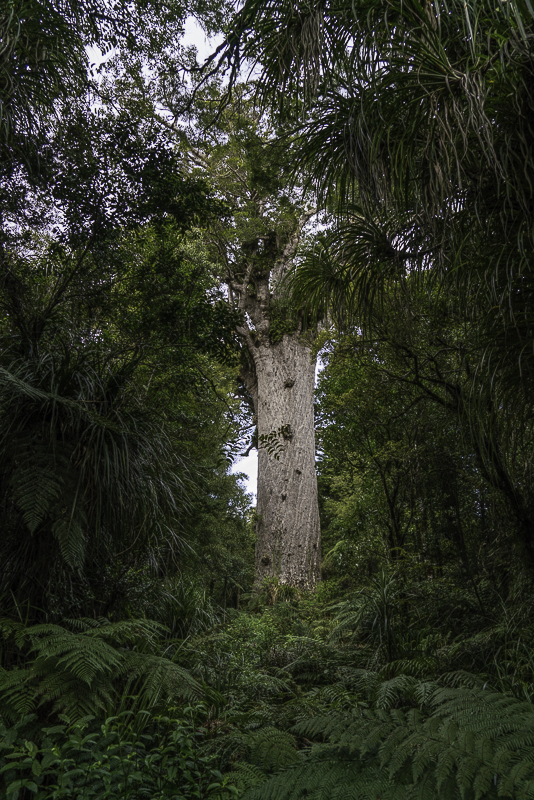
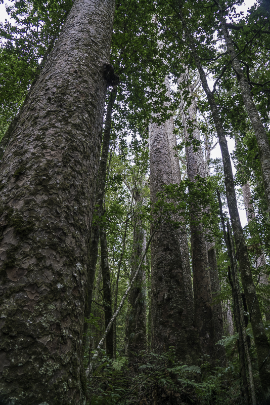
I visited two more Kauri Forests today. The biggest is Waipoua Forest. It covers a fairly large area and contains several of the largest Kauri trees still existing. The largest is called Tane Mahuta which means ‘Lord of the Forest’ (not to be confused with the ’Lord of the Rings’. The trunk of the tree is over 30 feet in diameter. It dwarfs the surrounding trees. While I’m on the subject of Dwarfs, I still haven’t seen any.
The second largest is called Te Matua Ngahere. The only thing confusing about that one is the pronunciation. Both of these old guys are over 2000. There is also a cluster of four trees called ‘The Four Sisters’ that have merged together at the base. I don’t now why these are given a female name and the other two are guys. Maybe it has something to do with not knowing the ages of the four sisters.
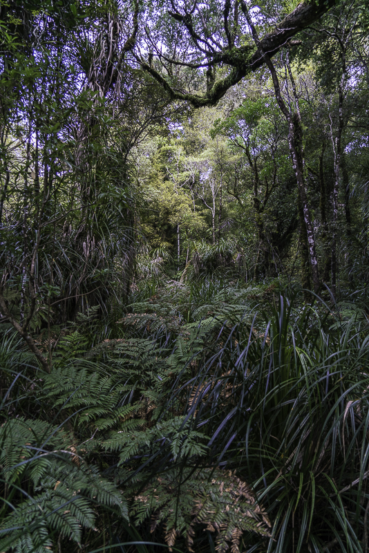
Of course the forests are also full of the ubiquitous ferns of various sizes and shapes that fill the lower levels of the forests here. I didn’t see any Wood Elves in either forest. Sure looked like perfect habitat to me.
Glad they don’t have any snakes in New Zealand. This would have been a perfect place for them.
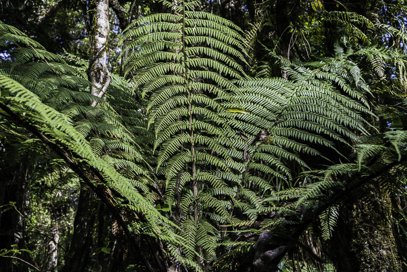
There are Ferns galore on the forest floor.
This is Tane Mahuta, the ‘Lord of the Forest’. The diameter of the trunk is over 30 feet!
This is a view of Tane Manuta through the forest. It dwarfs the surrounding trees.
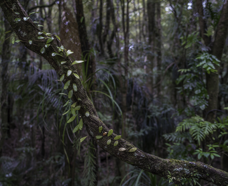
A creepy creeper.
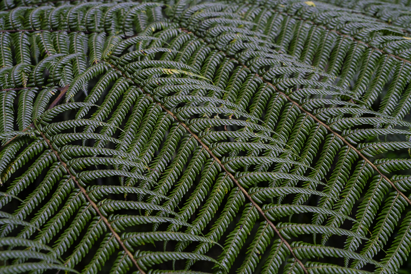
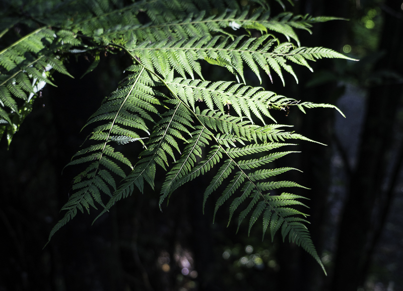
The Ferns have beautiful detail.
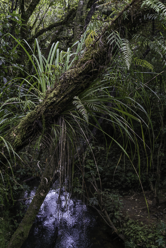
Every dead log has a whole ecosystem growing out of it.
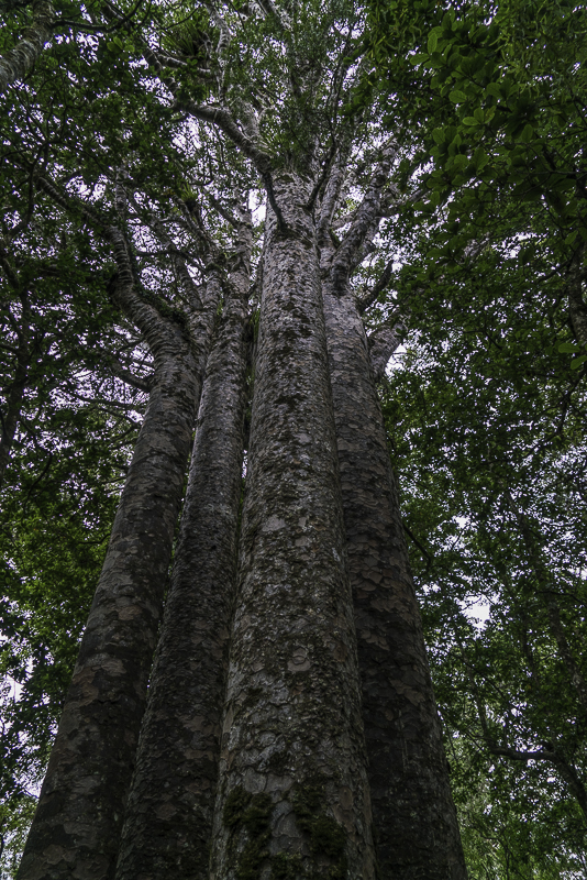
The Four Sisters. This would make a wicked tree house! You could run an elevator up the middle.
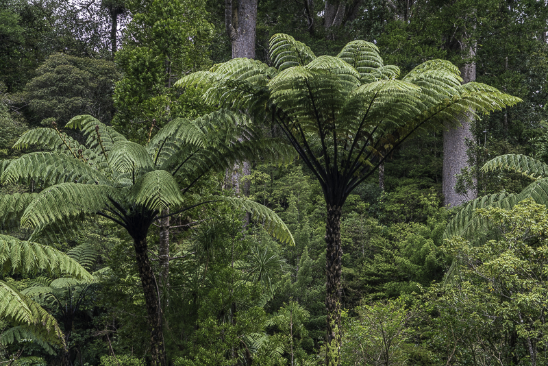
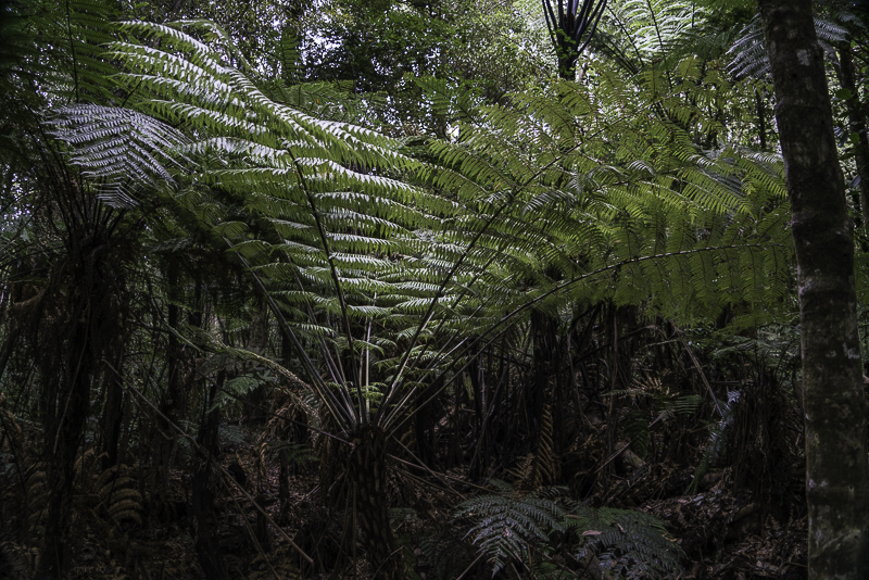
The Tree Ferns are my favorites. They grow as tall as palm trees.
The Tree Ferns make the place look Jurassic.
Oh no! Another Fern.
More of the big Kauris in Trounson Kauri Park.
Friday, August 28, 2015
Cape Regna
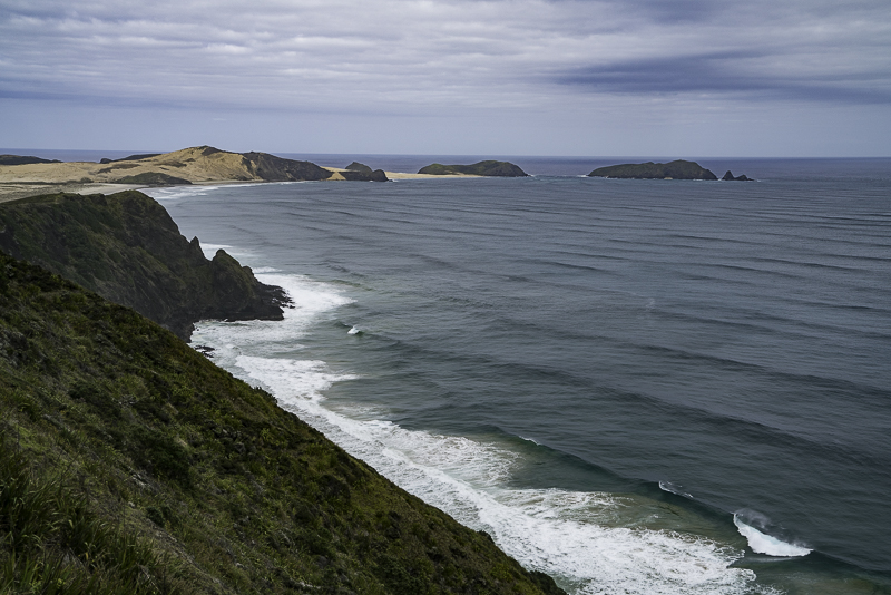
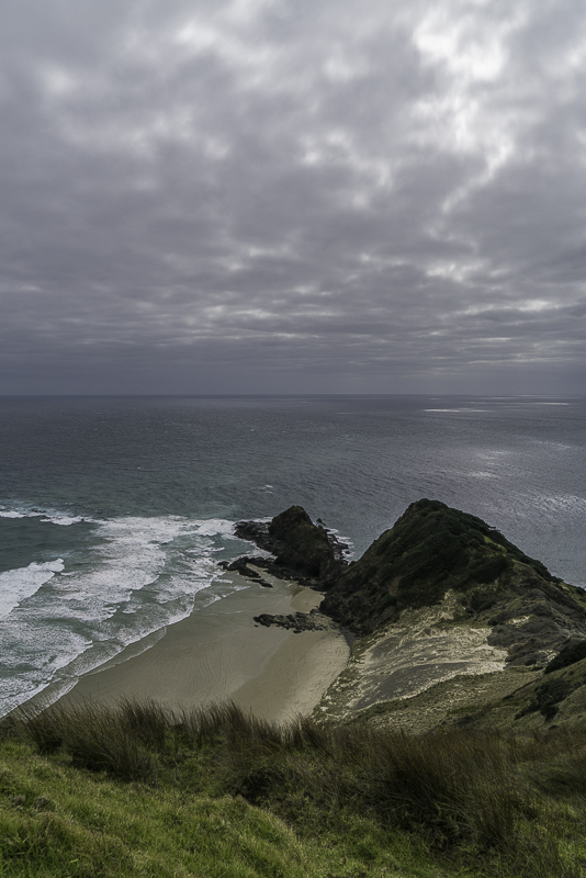
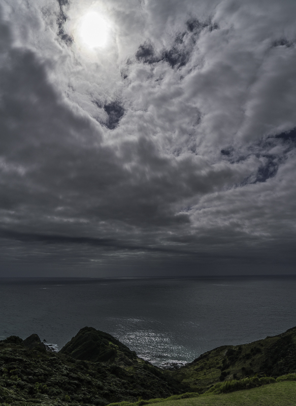
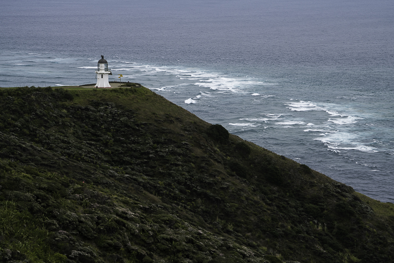
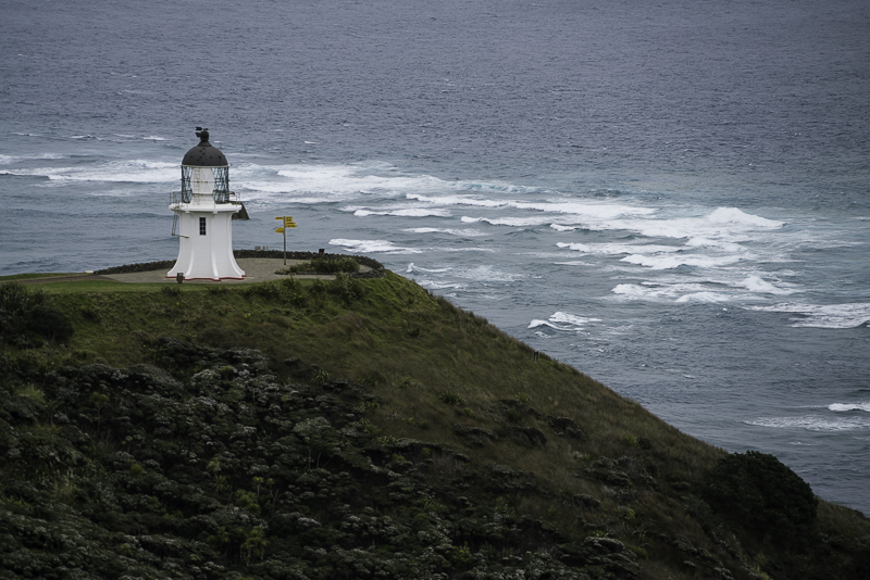
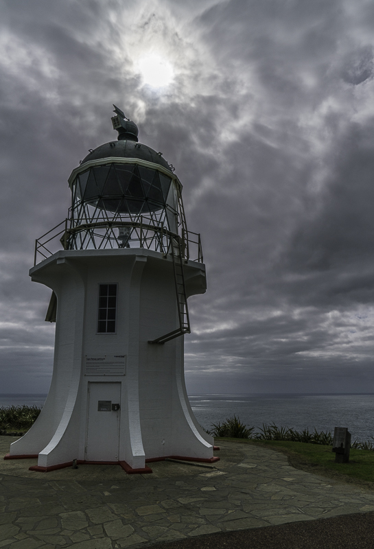
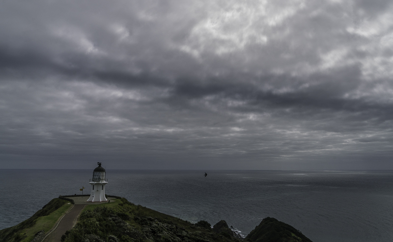
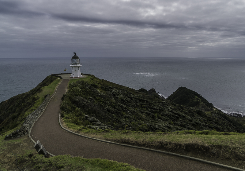
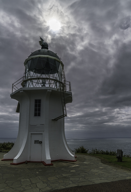
About 15 miles West of Spirit Bay is Cape Reigna, the “official” Northernmost point of New Zealand (though it really isn’t, you can get a little further North on a hiking trail). This area is steeped in Maori beliefs. It is a rugged headland with a picturesque lighthouse to warn shipping of the dangerous rocks and reefs. I really wouldn’t want to be anywhere near here in a boat because this is where the Pacific Ocean meets the Tasman Sea (and eats it for lunch). You see sets of waves crossing each other at 90°. Pretty scary. I had a cloudy day with a pretty dreary sky, but I waited on the Cape for quite some time because I could see some interesting clouds coming my way. There were two layers of clouds, one above the other. When a hole in one layer matched up with a hole in the other layer, a little spotlight of sunshine could occasionally sneak through. So most of these photos are of the same general thing, but with lighting variations.
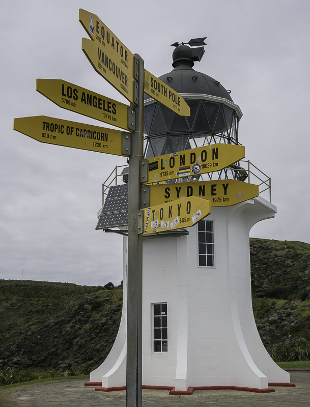
Portland isn’t on this sign, but if it were, it would be about 6800 miles.
Here’s a Panorama of the Cape.
This is looking back to the Southwest. This is the end of “90 Mile Beach”, which, of course, is nowhere near 90 miles long. More like 55. If you were walking it, I suppose it would seem like 90.
This is looking toward the East from the lighthouse.
Looking toward the Northeast as the sky got a little bit more interesting.
This is just a batch of images of the lighthouse in differing lighting conditions:
Thursday, August 27, 2015
The Far North
I’m now in the area of New Zealand called The Far North. That might sound ridiculous since I’m actually about 35.5° South of the Equator, but as they say, all things are relative. If I went further North from here, I’d have to trade in my Motorhome for a substantial boat because I could keep going North until I came to the Far Eastern Pacific Coast of Russia. If I were a nudge off on my navigation, I might hit New Caledonia which is slightly Northwest or Vanuatu which is slightly Northeast. But due North, there’s nothing but water for over 6,500 miles. So I guess I’ll turn around and head South for the next couple months. I’m also apparently further North than the Northernmost Internet service in New Zealand, so I’ll have to go South just to catch up with my posts.
Spirit Bay
I camped one night at a place called Spirit Bay. The Maori’s believe that their Spirits depart from the North end of the Island, so I suspect that has something to do with the name. There are a few other people in the campground I’m staying at. They seem to be evenly divided between Surfers and Fishermen.
This is the beach at Spirit Bay looking toward Cape Reigna (more on that later).
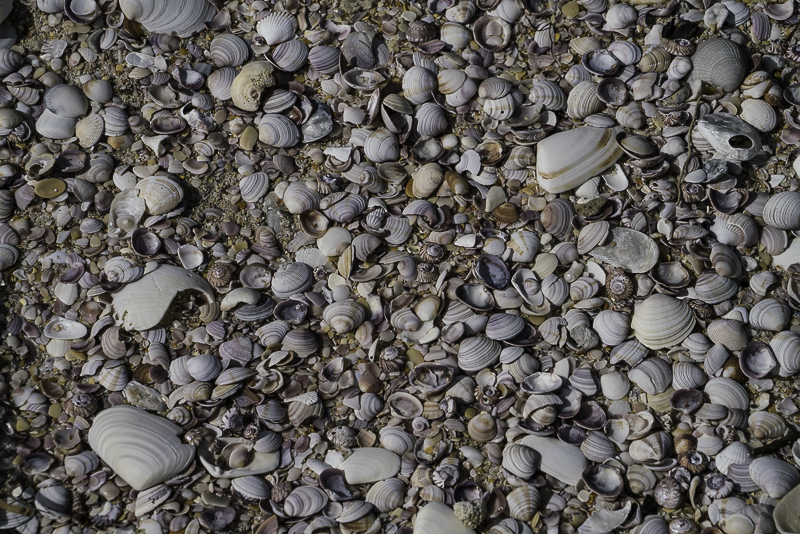
The beach has areas that are solid seashells.
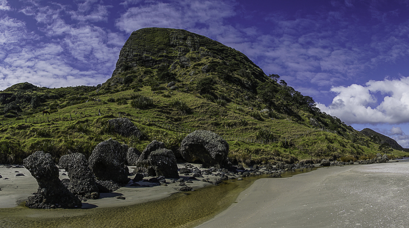
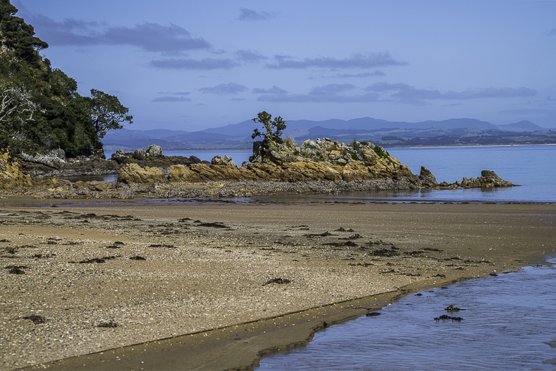
This is the headland of the East corner of the Bay. Strangely eroded rock formations are near the upper edge of the beach.
This strange balanced boulder on the hillside looks like a large fist.
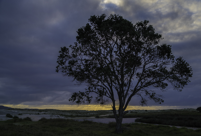
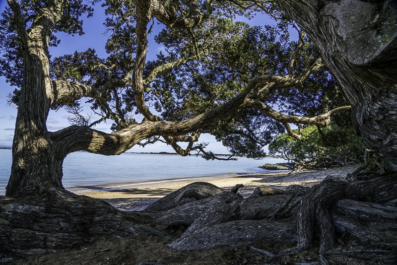
A tree near the dunes at dusk.
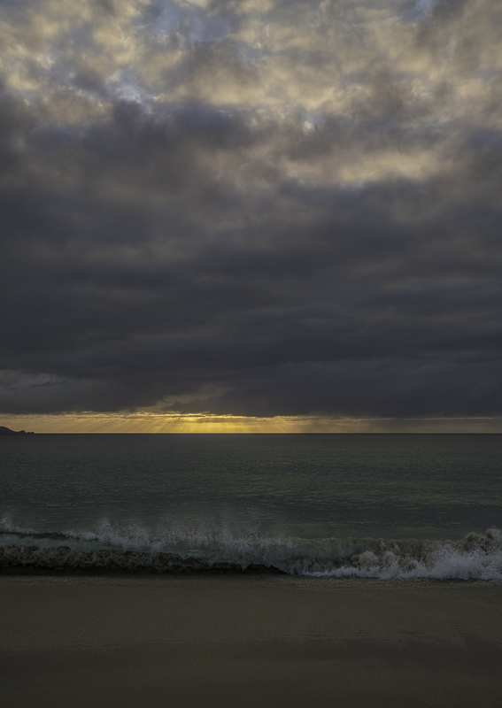
For awhile, it looked like there might be a nice sunset, but it sort of fizzled out at the end.
Tuesday, August 25, 2015
Puketi Forest to Doubtless Bay
Last night was chilly and damp. I had to run the gas furnace until bedtime. When I awoke this morning, the sun was shining and the sky was blue. So I decided to re-do my walk in Puketi Forest. It was much nicer with some sunlight filtering down through the trees than it was in the rain. I did about 2 hours of walking, then I began my day’s journey North. I wanted to go to Doubtless Bay which was about an hour and a half drive. It was a nice drive through attractive countryside in the warm sunshine. Doubtless Bay gets its name from a log book entry in Captain Cook’s log book when he first sailed here in the 1770’s. The notation was that large body of water was “Doubtless a Bay”. That was sort of stating the obvious, but I imagine he was running out of witty log book entries by this time. So the name stuck, and here I am to confirm that it indeed doubtless a bay.
The ferns look nicer with some sunlight on them. New Zealand must be the Fern capitol of the world.
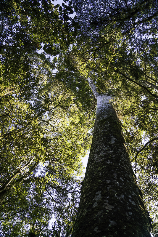
This is a Kauri Tree. They are huge, and much like the Redwoods and Sequoia’s in the US, they were nearly logged into extinction. They are now protected in the few areas where they remain. They aren’t quite as tall as a Redwood or Sequoia, but they have similar girth. They are also very long lived. Some of the remaining trees are 2000 years old.
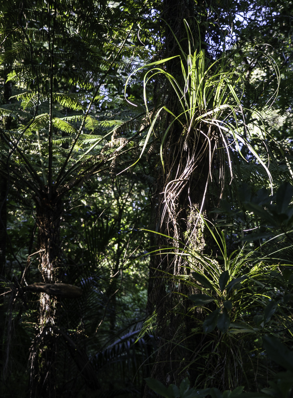
Lots of trees have “hitch hikers” living along the sides of their trunks and in the crooks of branches.
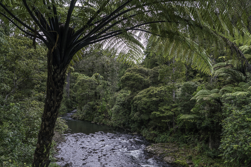
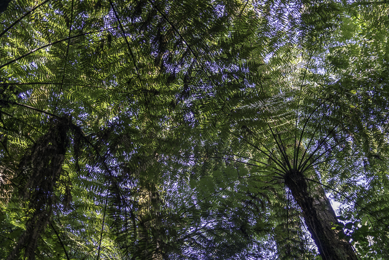
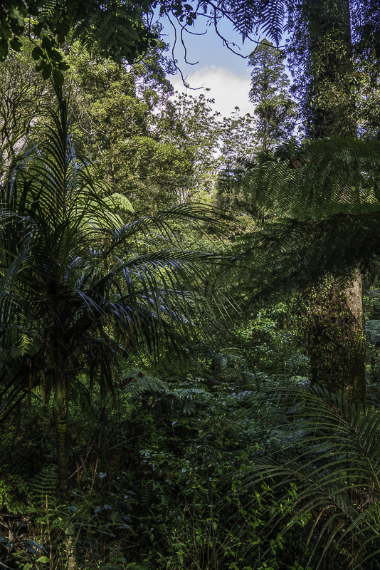
Tree Ferns are as tall as Palm Trees and make a canopy that looks like green lace.
The forest is sub-tropical and very dense.
More Ferns.
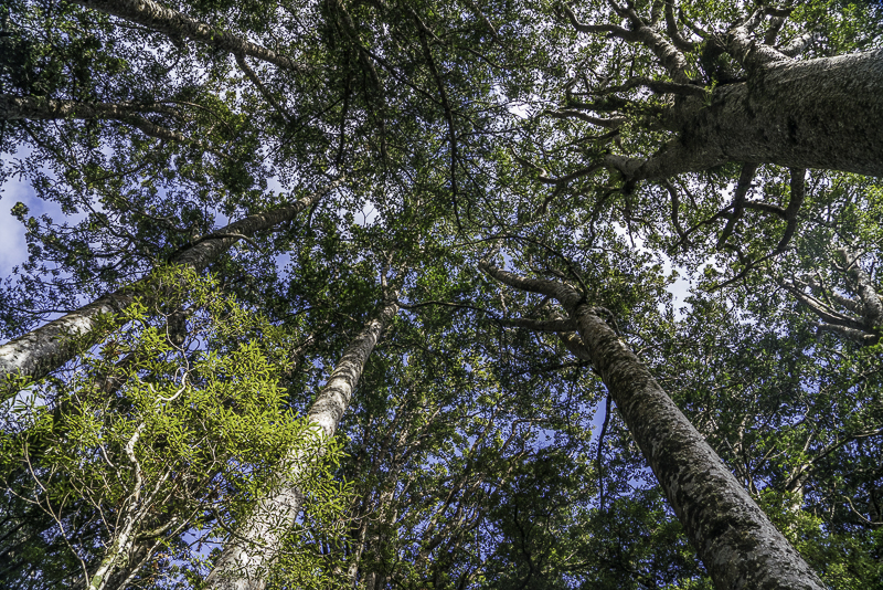
A large grove of ancient Kauri Trees.
Looking out into Doubtless Bay.
Another view of the bay.
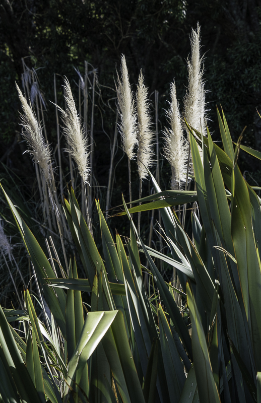
I’ve been seeing a lot of Pampas Grass, an invasive species from South America.
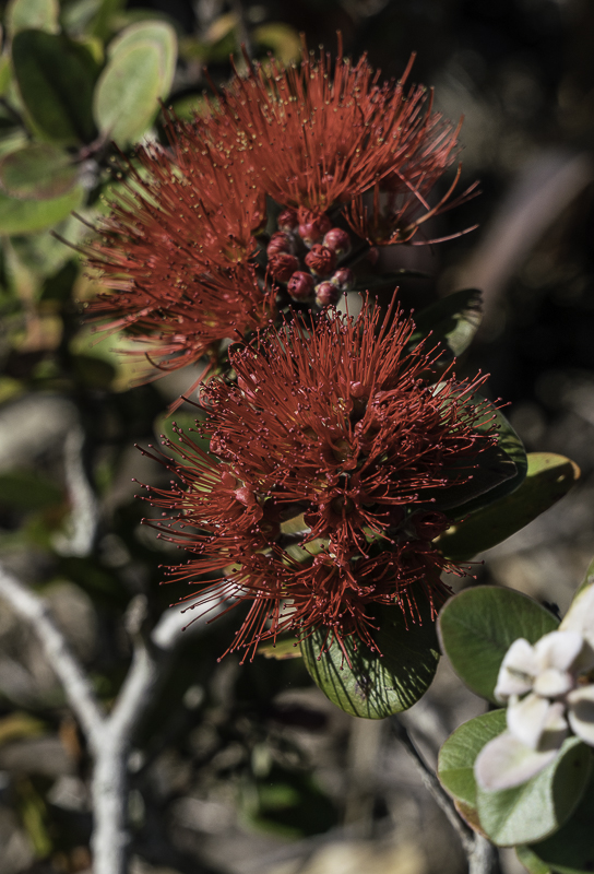
It’s early Spring here, so lots of blooms.
Subscribe to:
Posts (Atom)