I left Moab early and was in Capitol Reef National Park by about 10:30. I did a couple of nice short hikes there and then moved on westward toward Bryce Canyon. Along the way, in the open country, I found a couple nice places to Fly the DJI Inspire. As I approached Bryce, I could see large thunderheads covering t he Mesa. I made a snap decision and diverted to the South in Canyonville to Kodachrome Basin State Park. I just barely beat the rain clouds there, and got 4 flights in before the clouds covered the sky. Then I went on to Bryce Canyon, which was still covered in thunderstorms, but I got a couple interesting stormy sky photos. I headed on down the West side of the Mesa and drove North to within about 100 miles of Salt Lake City for the night. From here it’s a 2 day drive back to Oregon (could make it in one day, but I’m not a masochist).
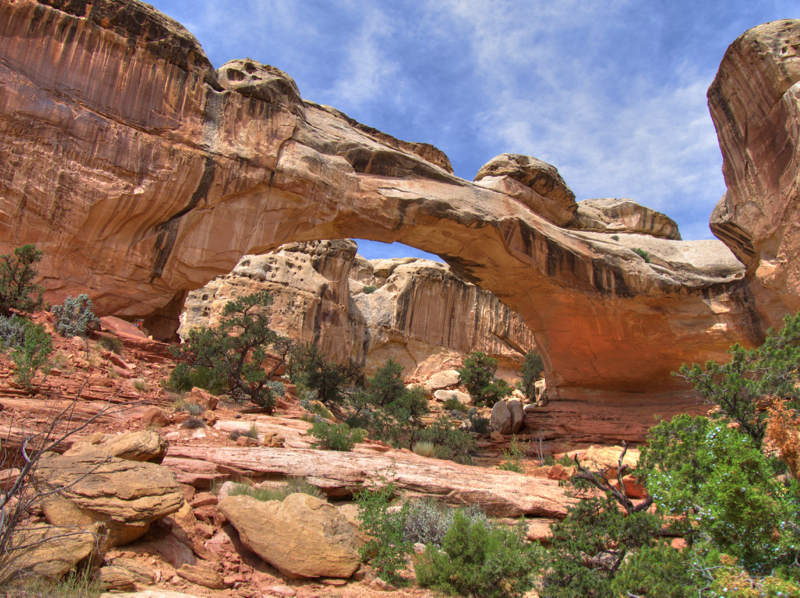
A nice Natural Bridge In Capitol Reef National Park:
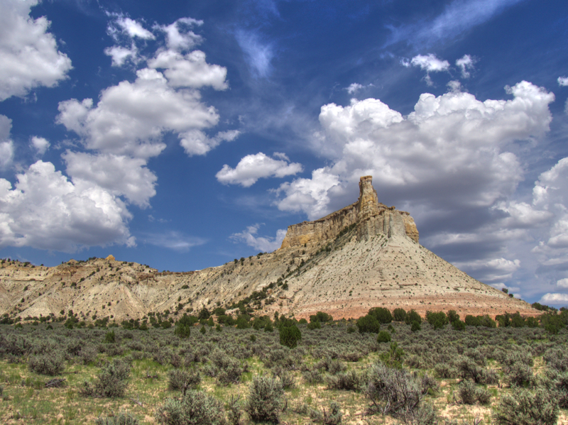
Here is one of the roadside spots I stopped at between Capitol Reef and Bryce:
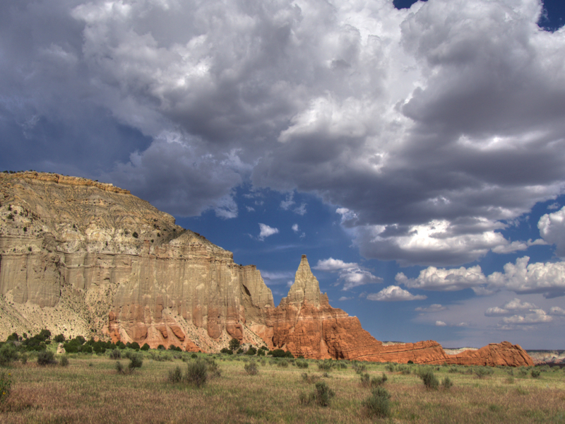
Right after shooting this, the clouds covered the sun for the rest of the afternoon:
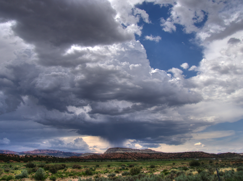
The storm moving in:
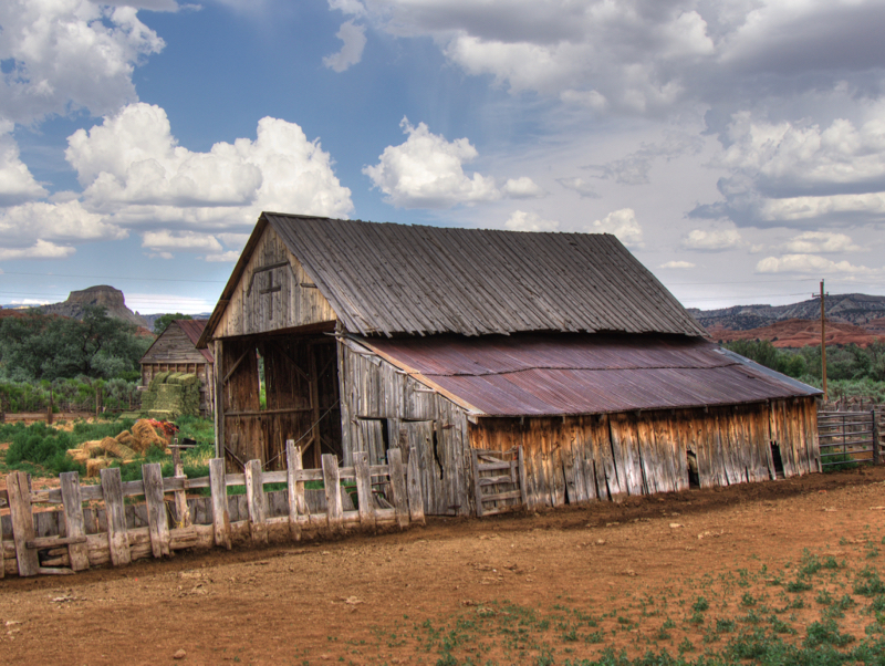
An old barn in Cannonville:
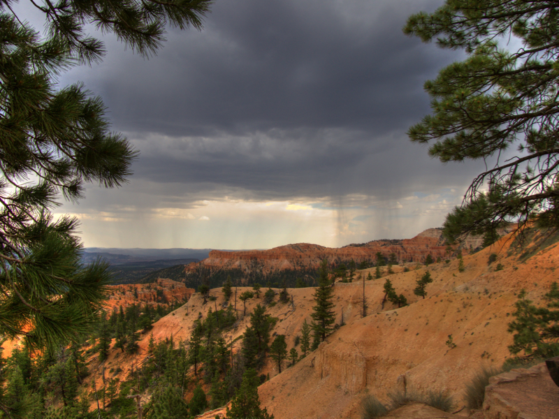
Thunderstorm in Bryce:
No comments:
Post a Comment